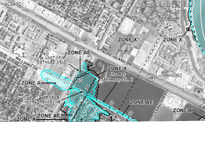
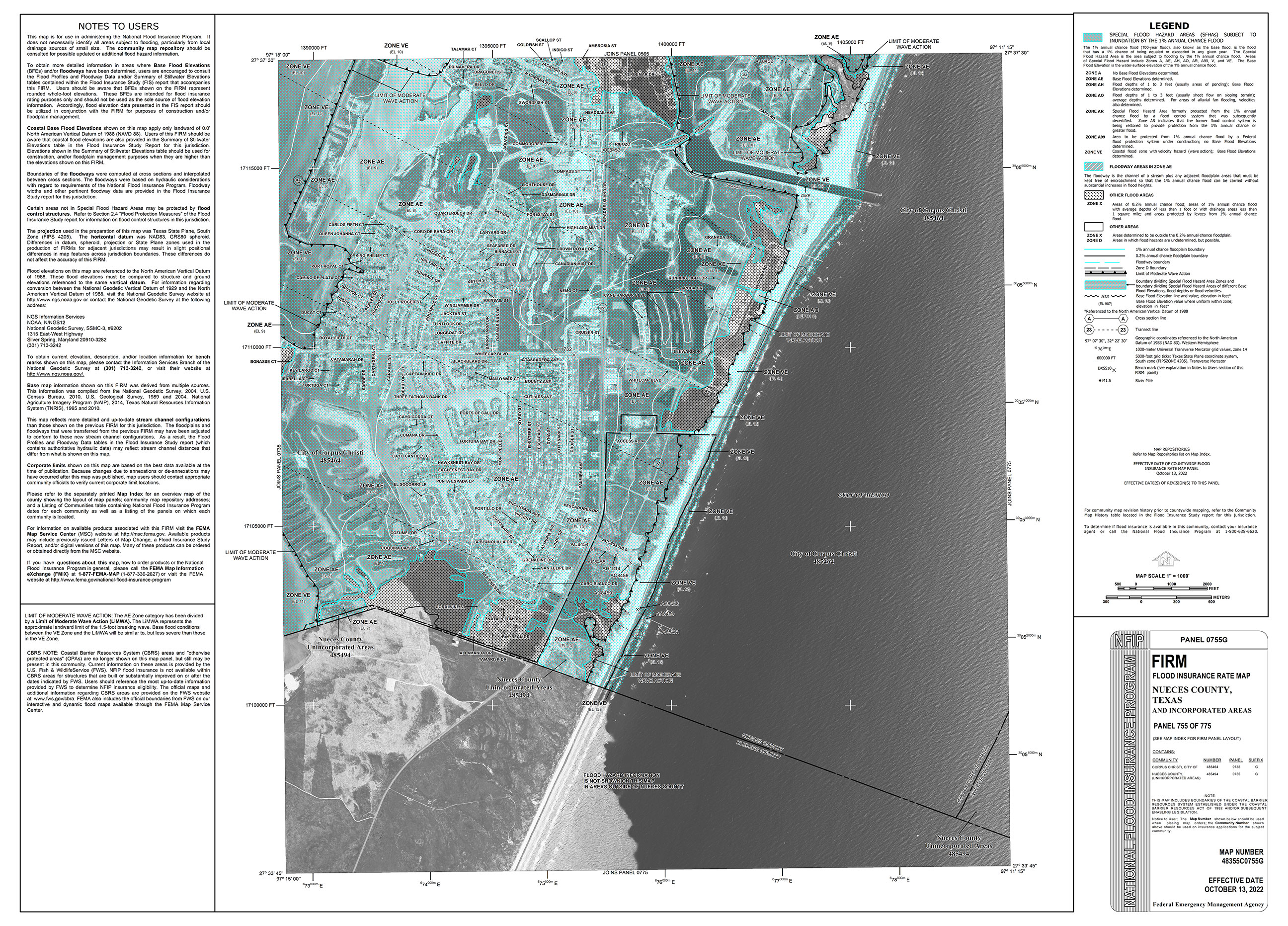
Moderate-to low-risk areas are identified on the Flood Insurance Rate Maps (FIRMs) as:
Shaded Zone X- These properties are in moderate to the low-risk area. The risk is reduced in these areas but not eliminated.
Zone X- These properties are in an area of overall lower risk. High-risk areas are identified on the FIRMs as:
Zones AE, A, AH, AR, A99, or AO - These properties have at least a 26 percent chance of flooding over the life of a 30-year mortgage.
Zones VE or V - These properties also have at least a 26 percent chance of flooding over the life of a 30-year mortgage. In addition, these properties face hazards associated with coastal storm waves and storm surge.
For more information about understanding your flood risk, visit http://www.floodsmart.gov/.
CLICK HERE to learn more about reading FIRM maps.
_______
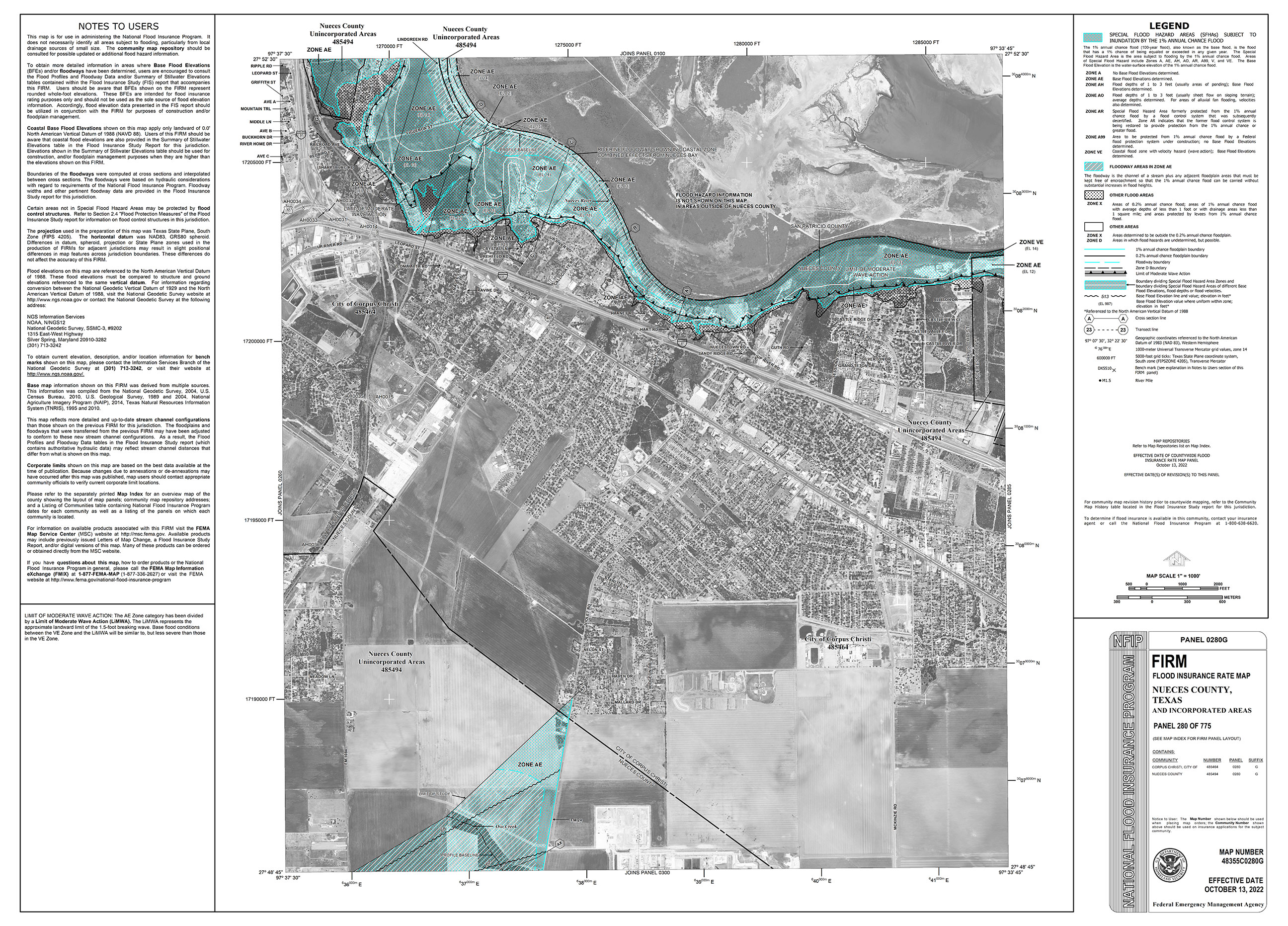
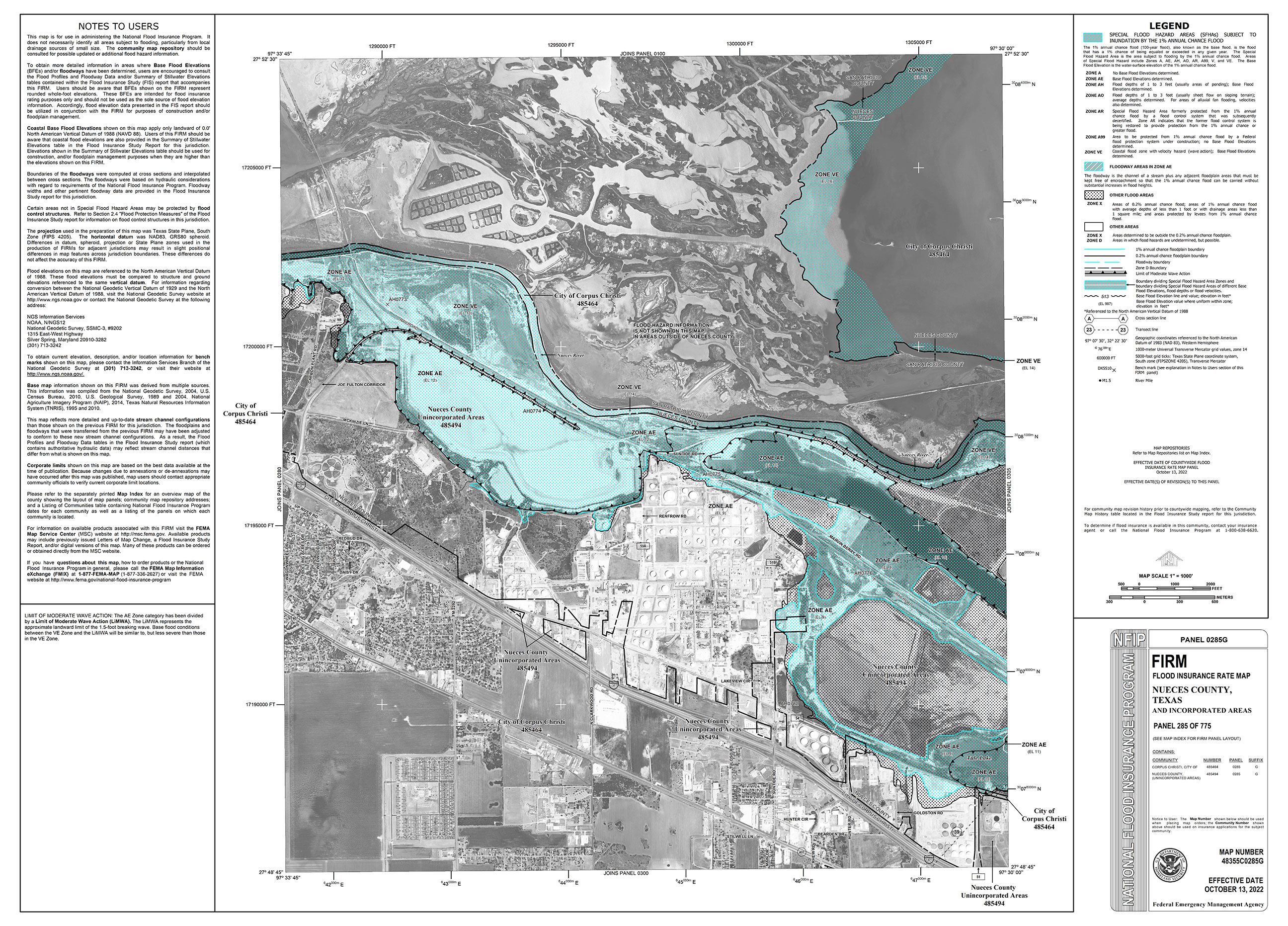
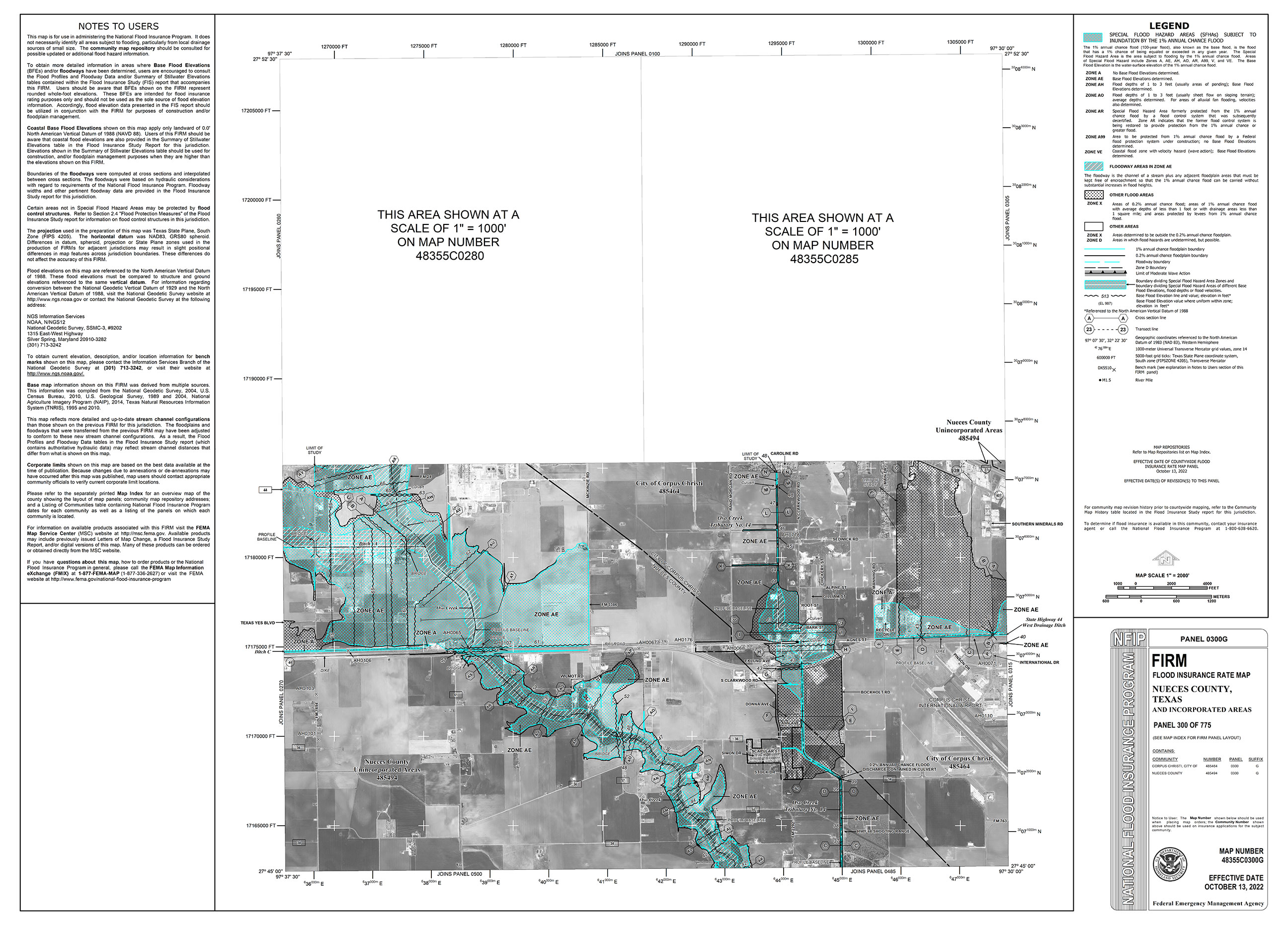
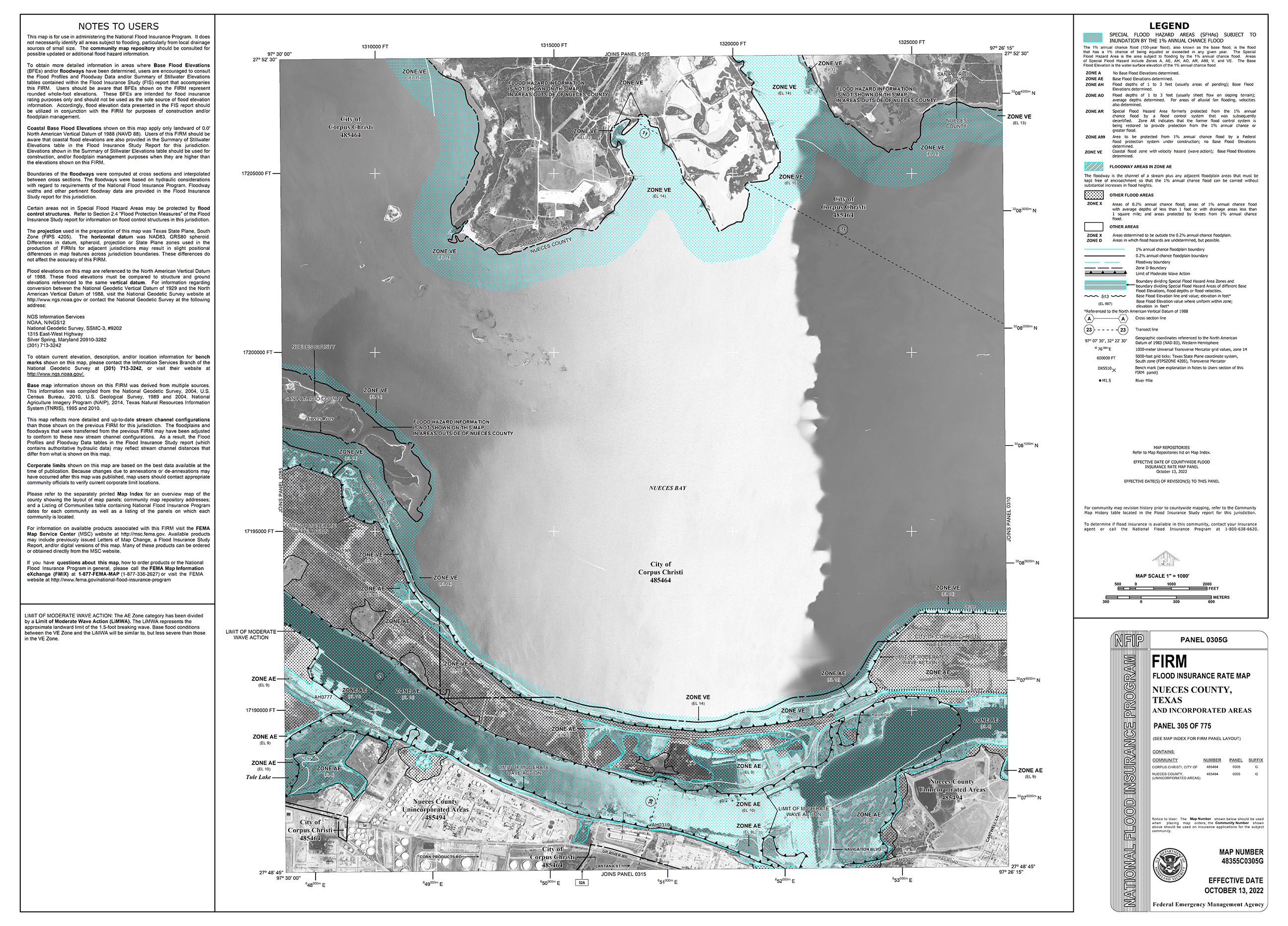
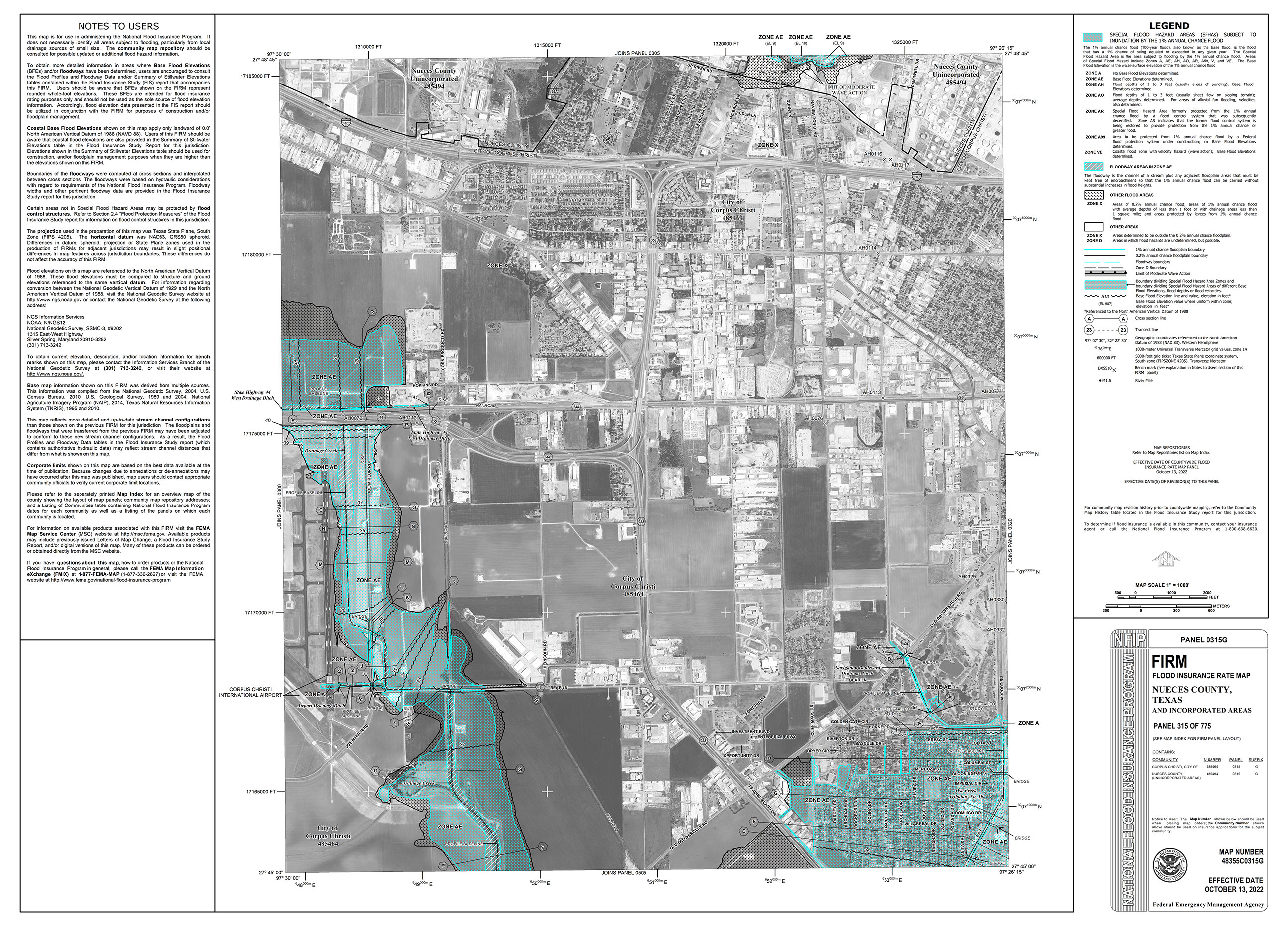
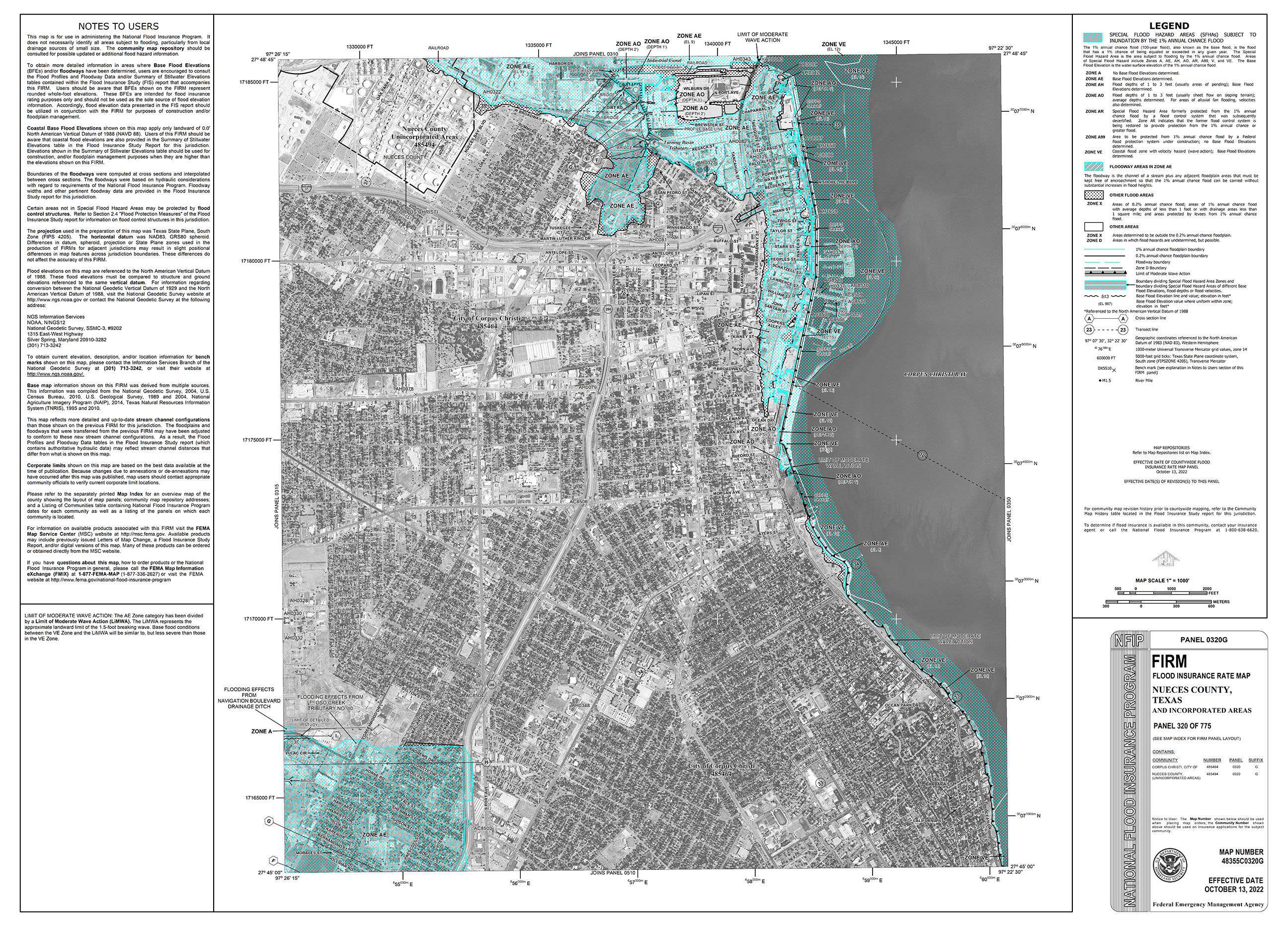
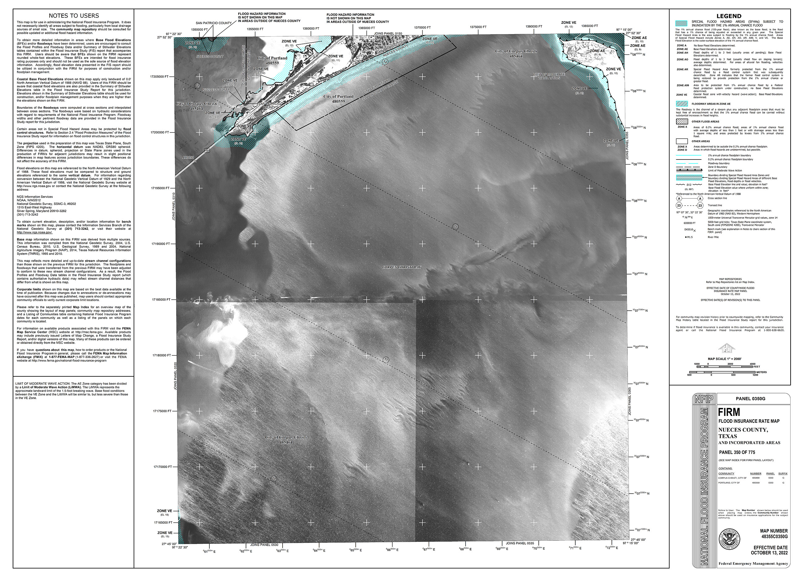
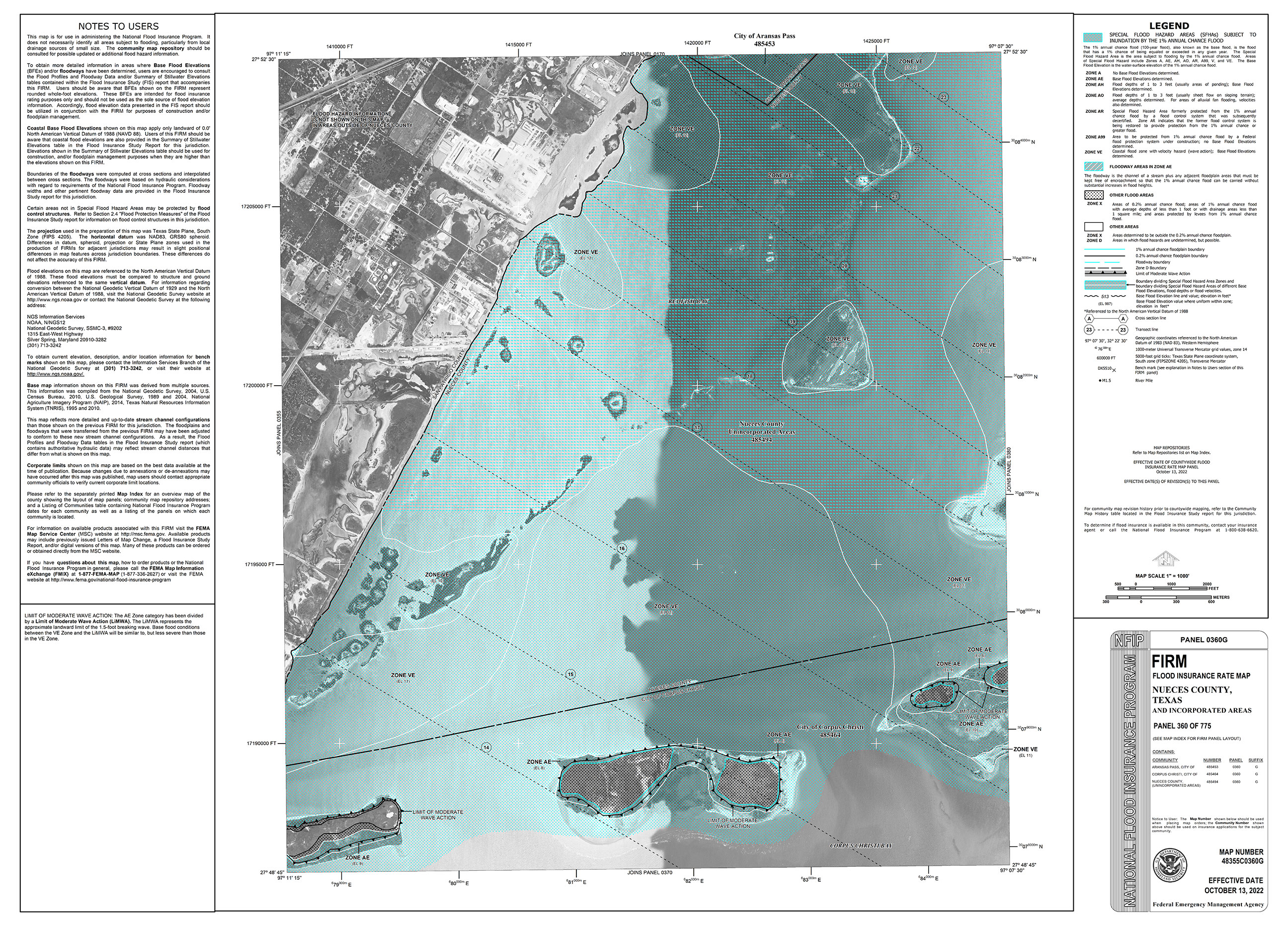
Effective FIRMs
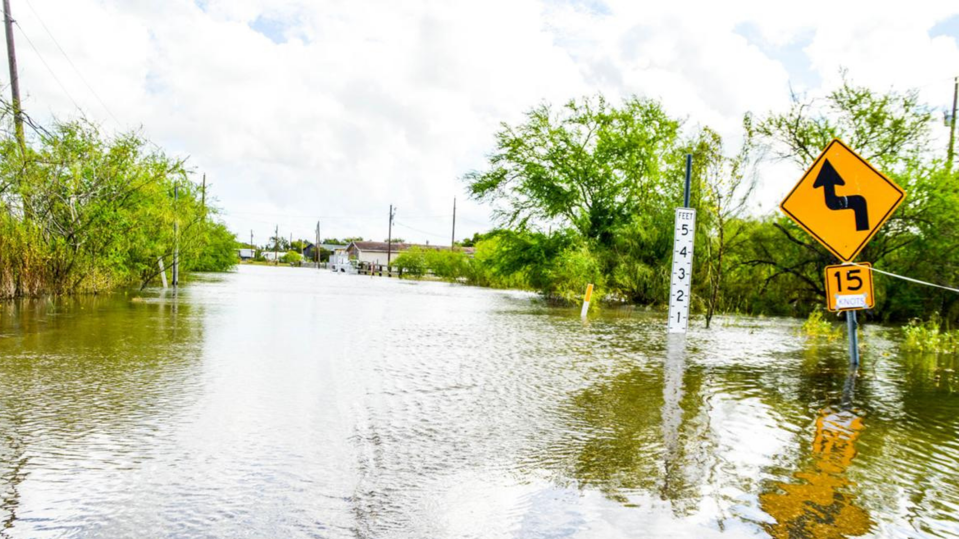
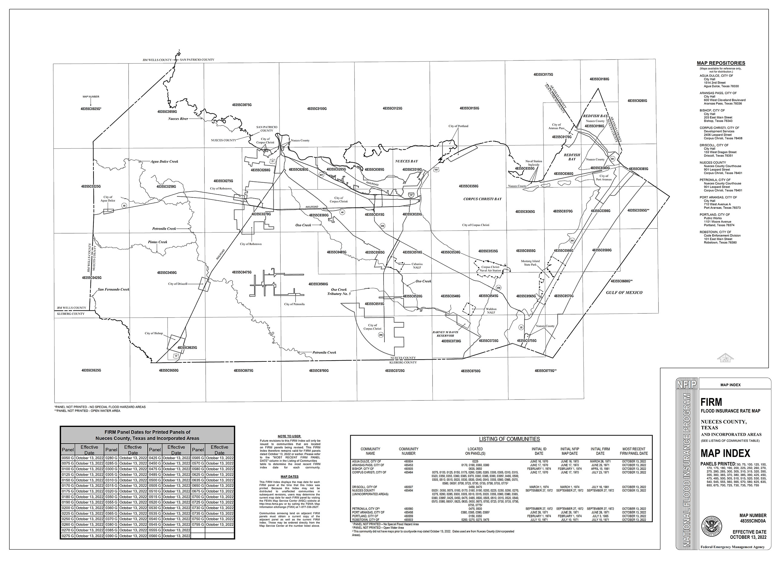
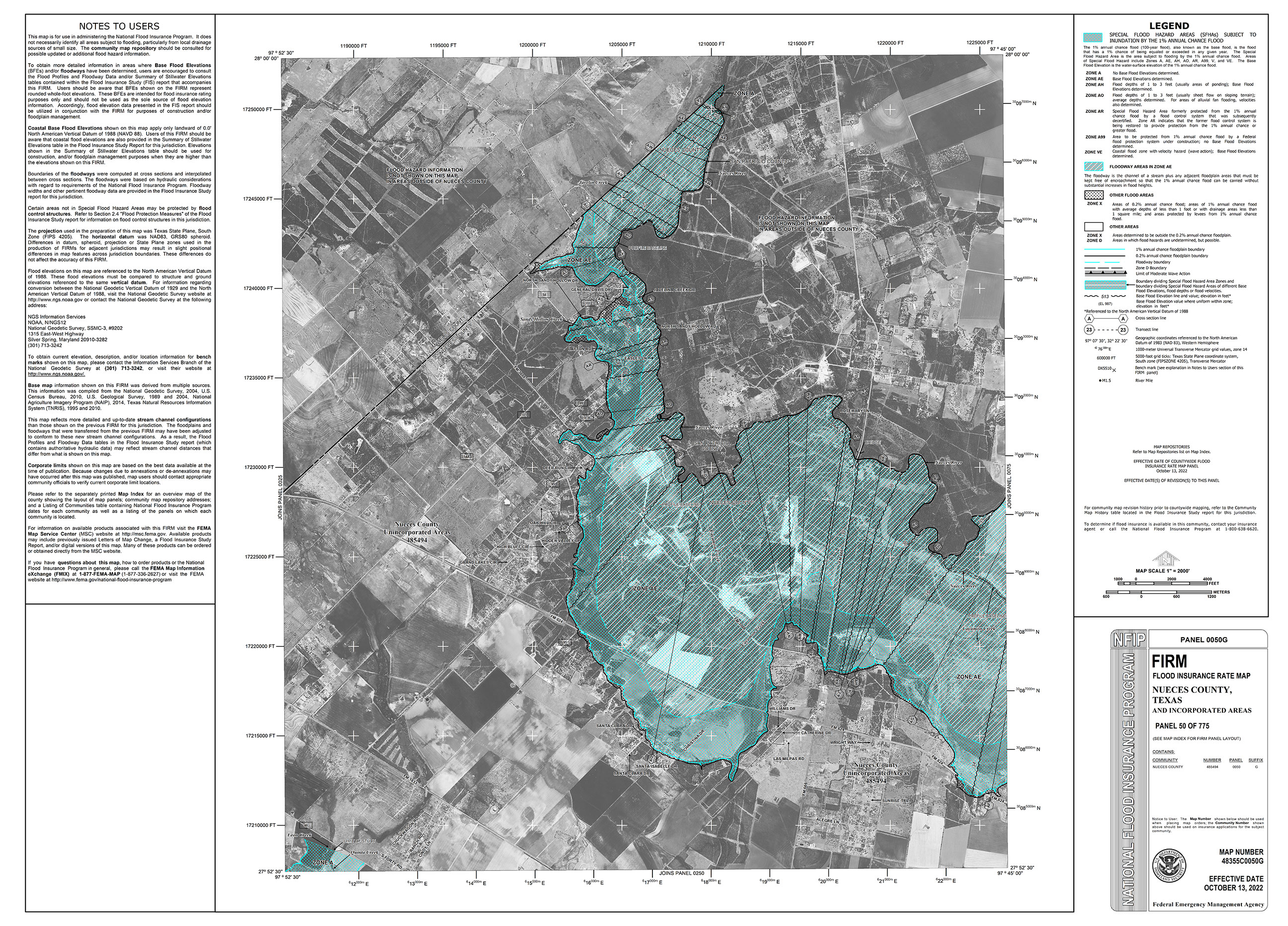
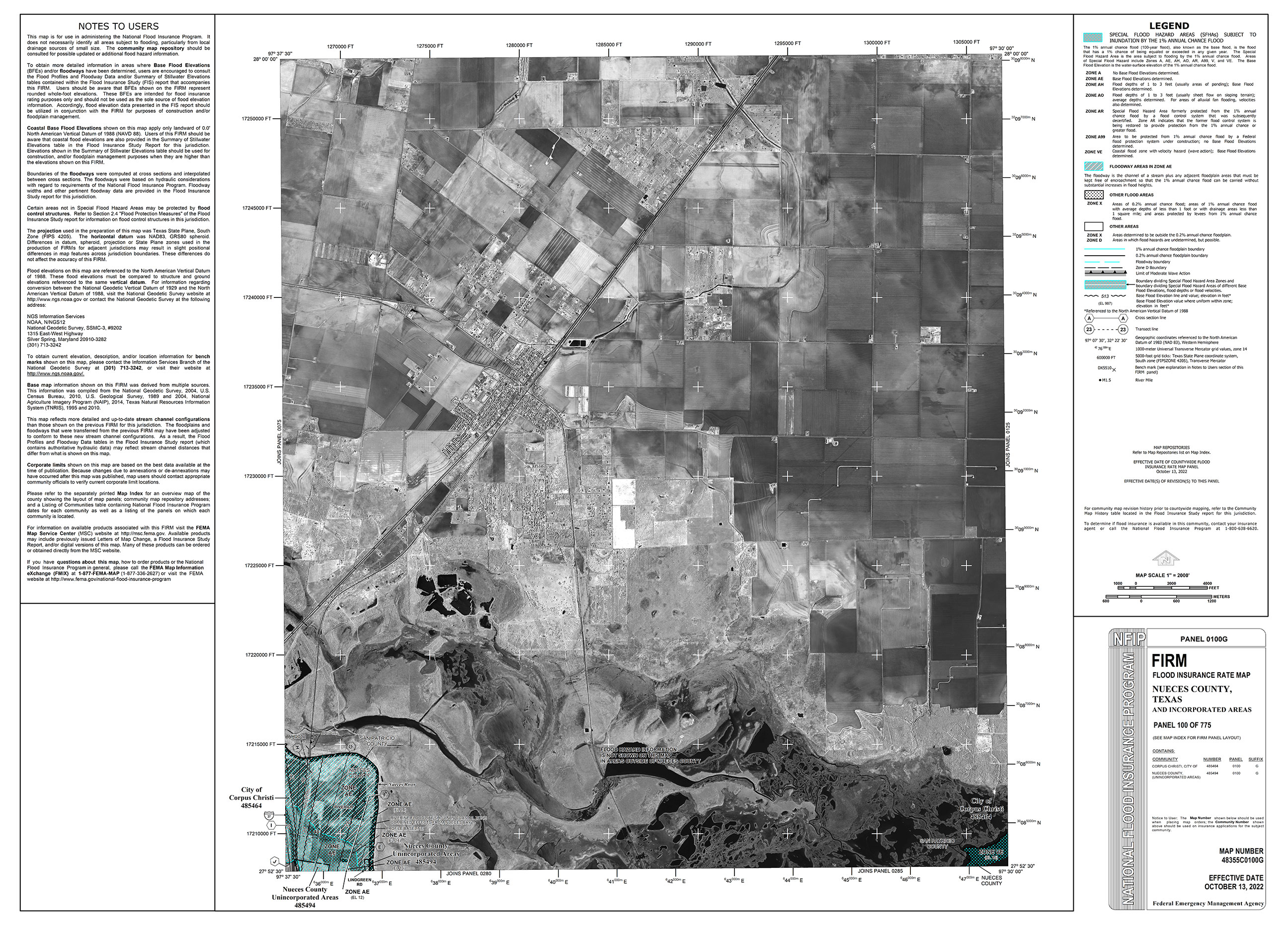
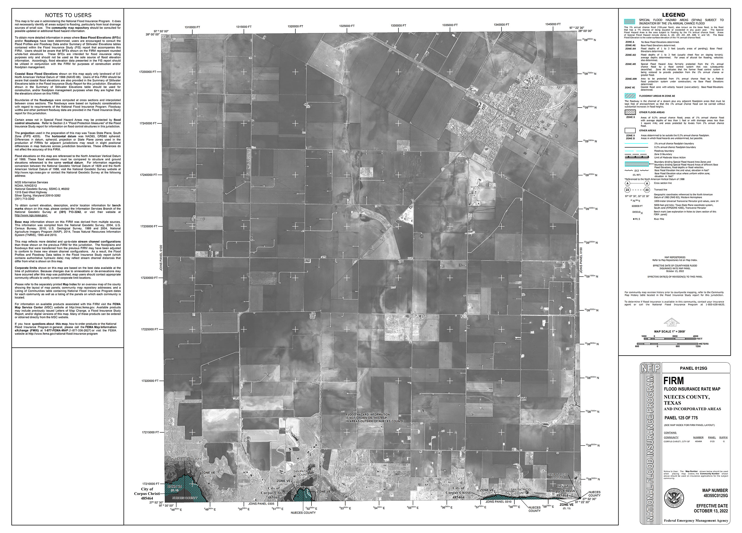
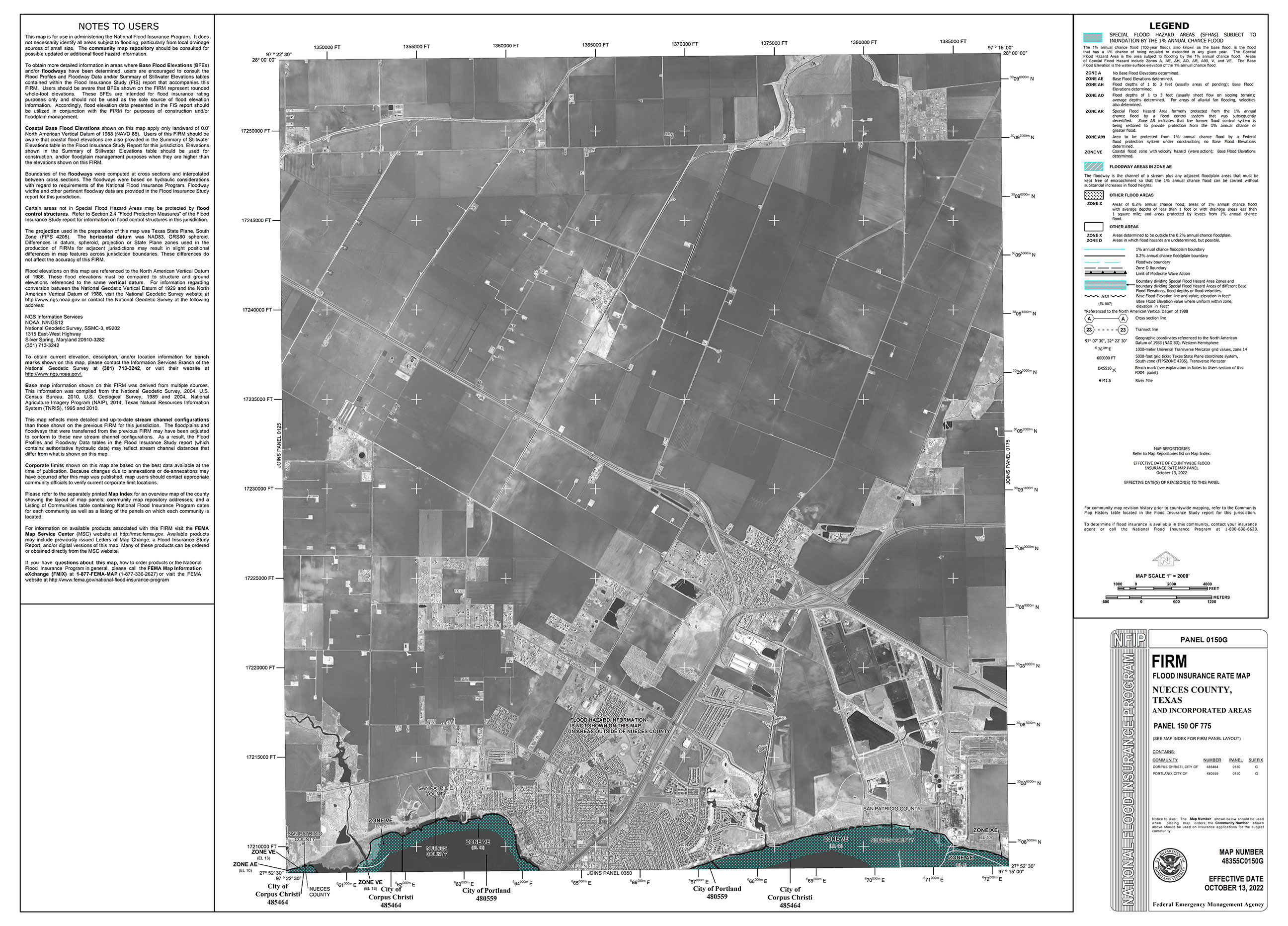
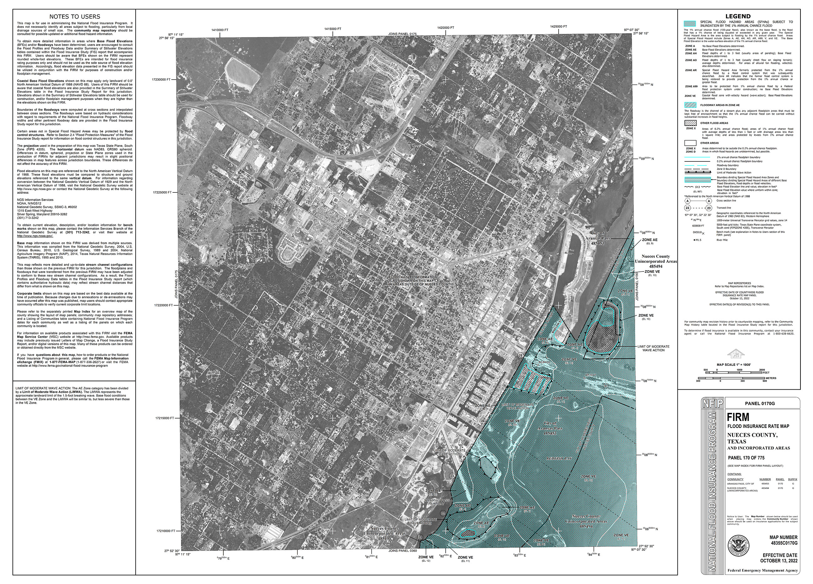
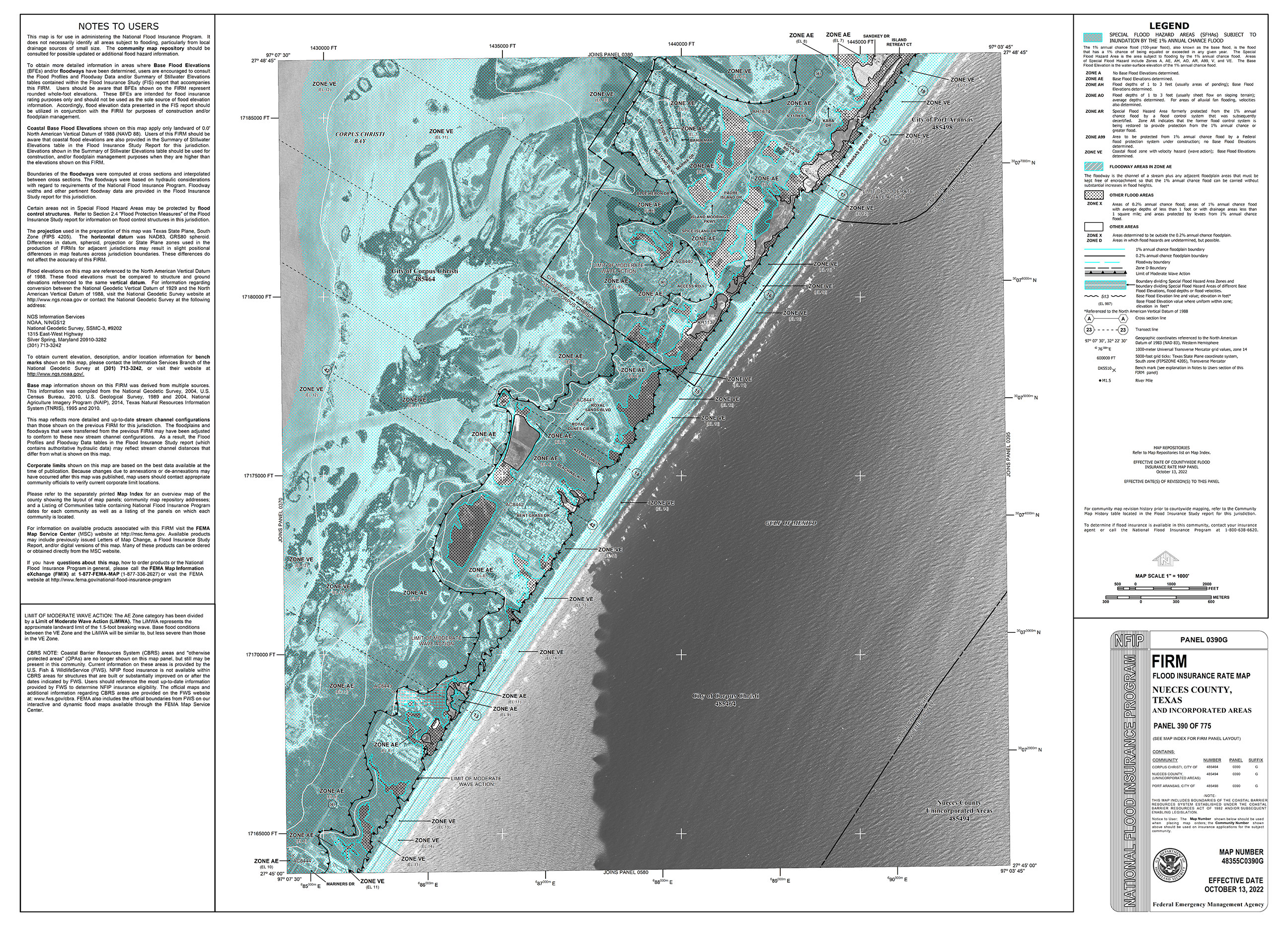
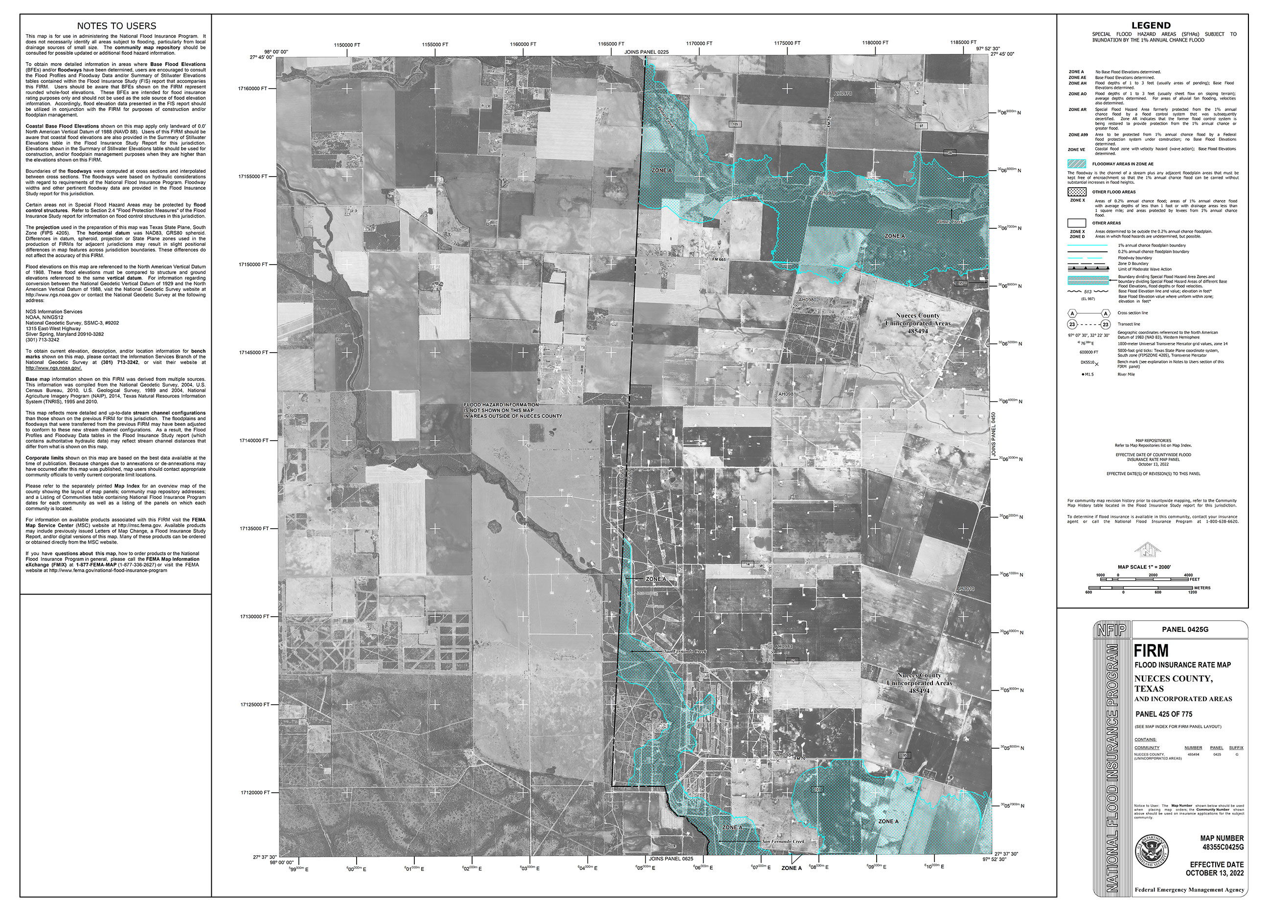
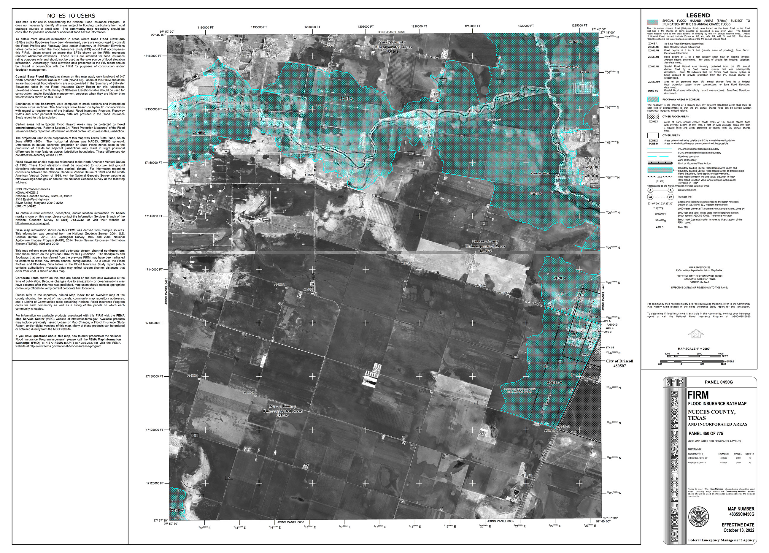
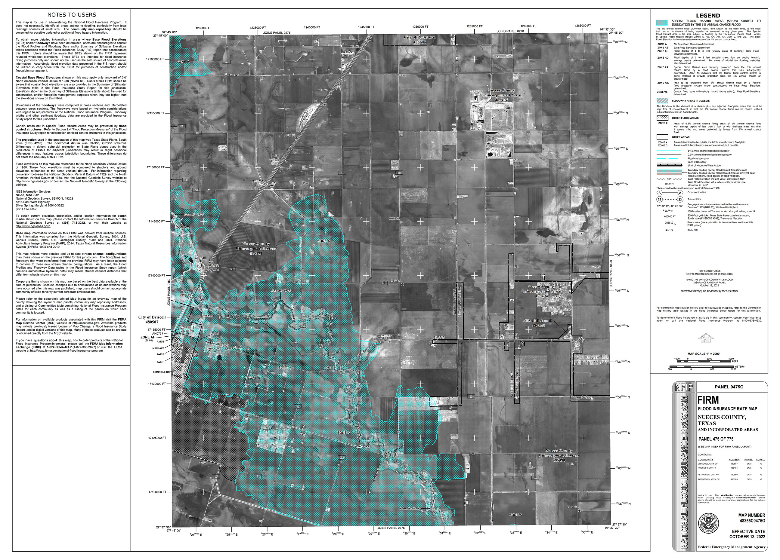
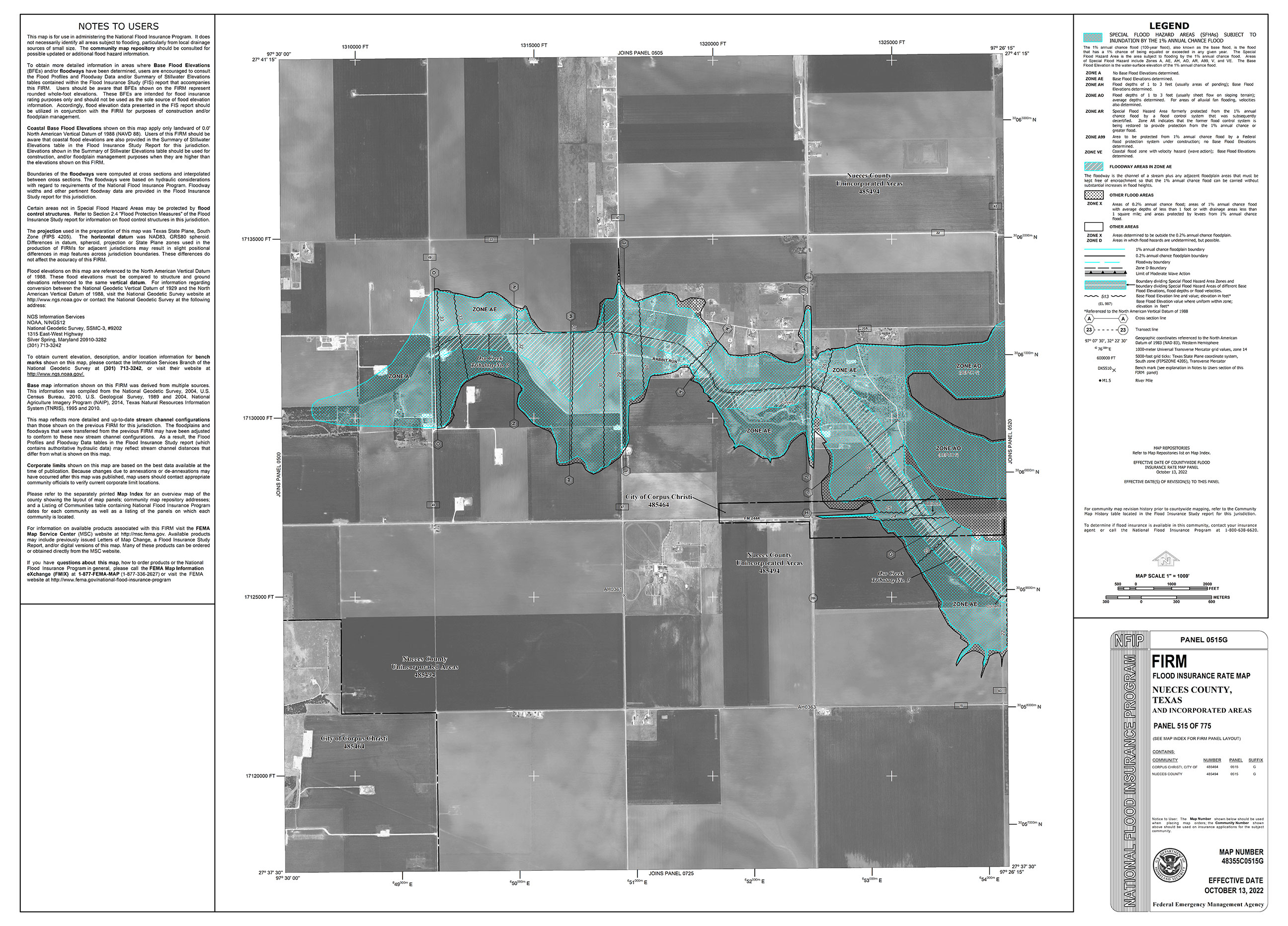
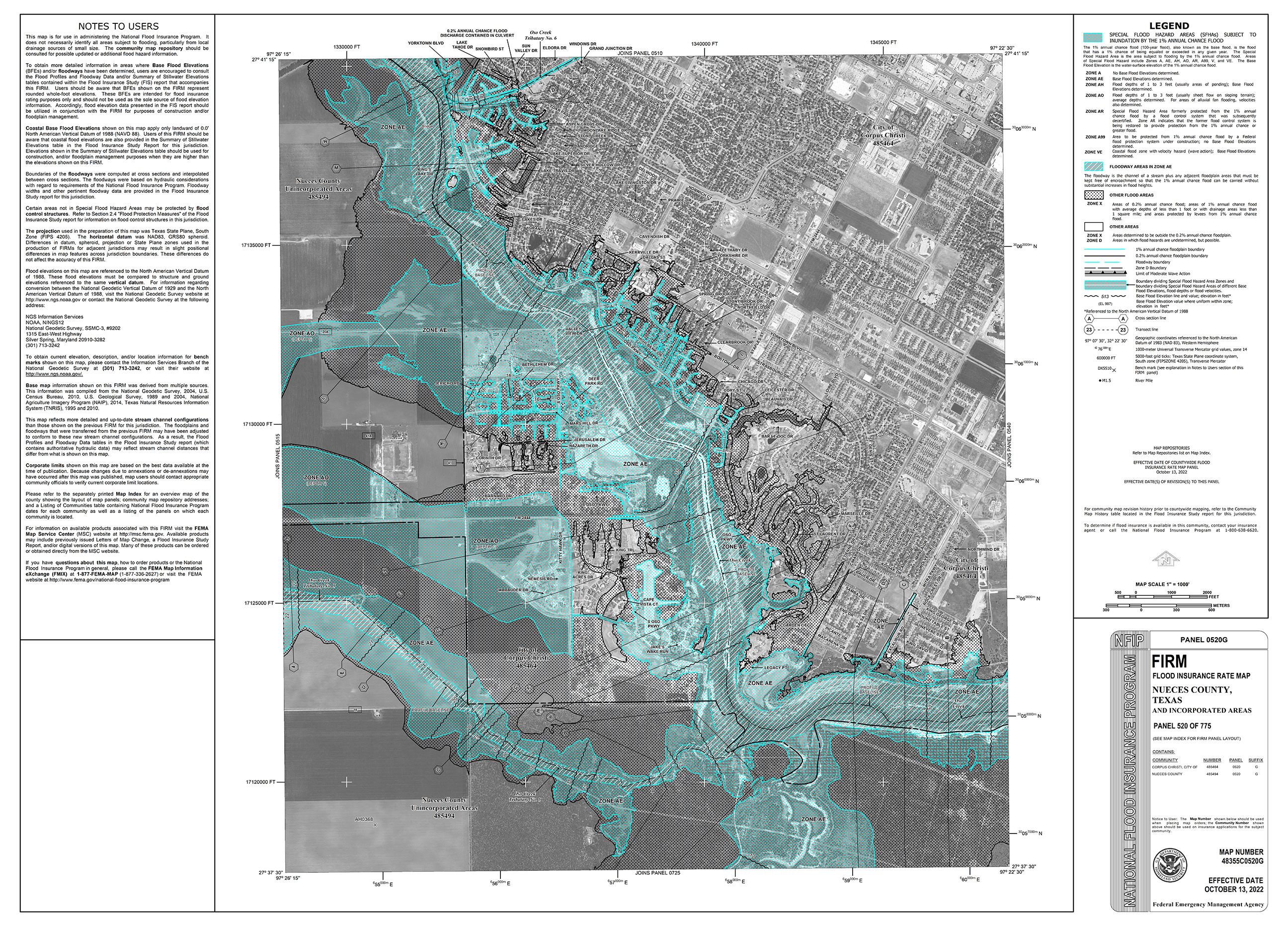
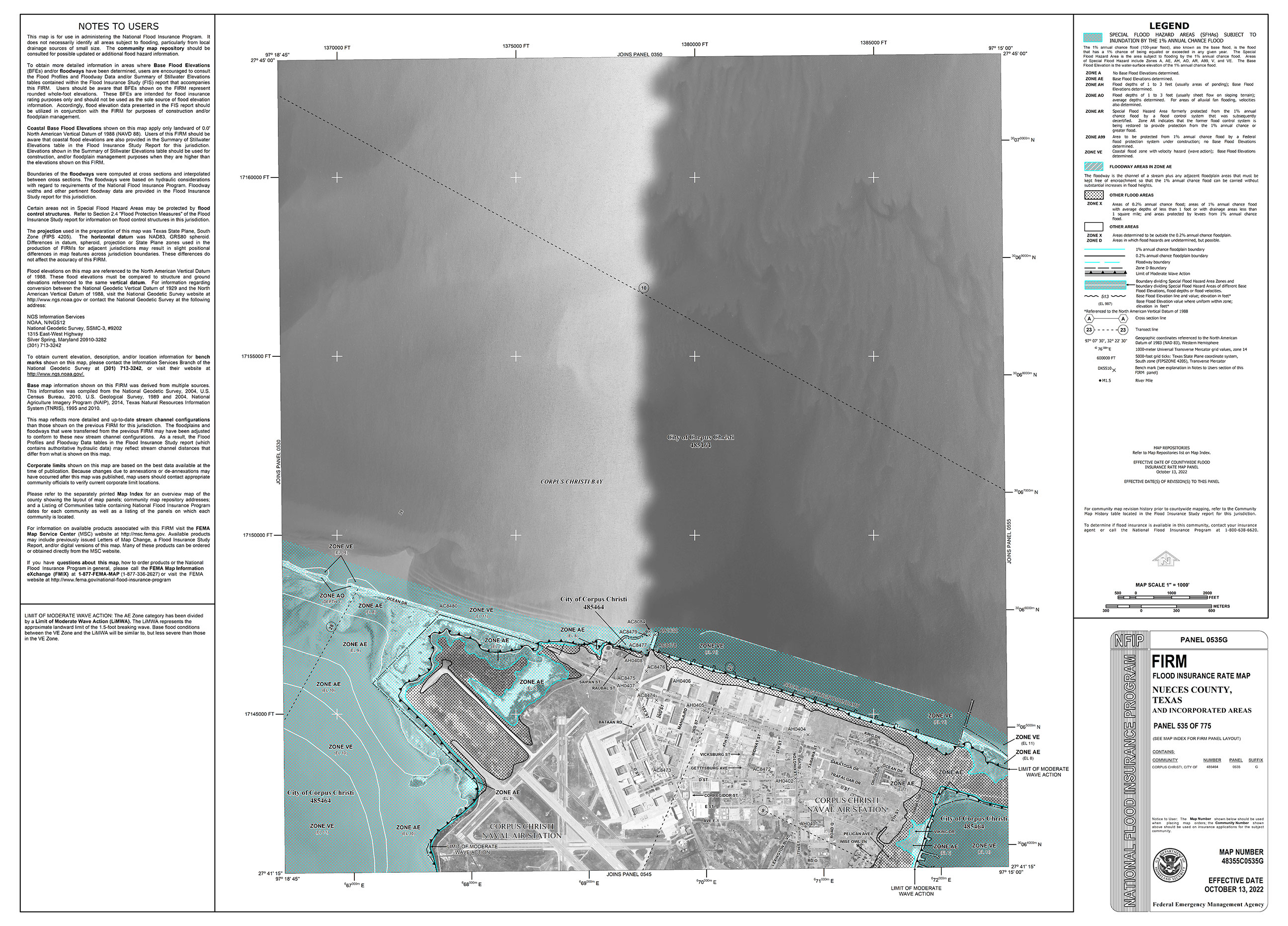
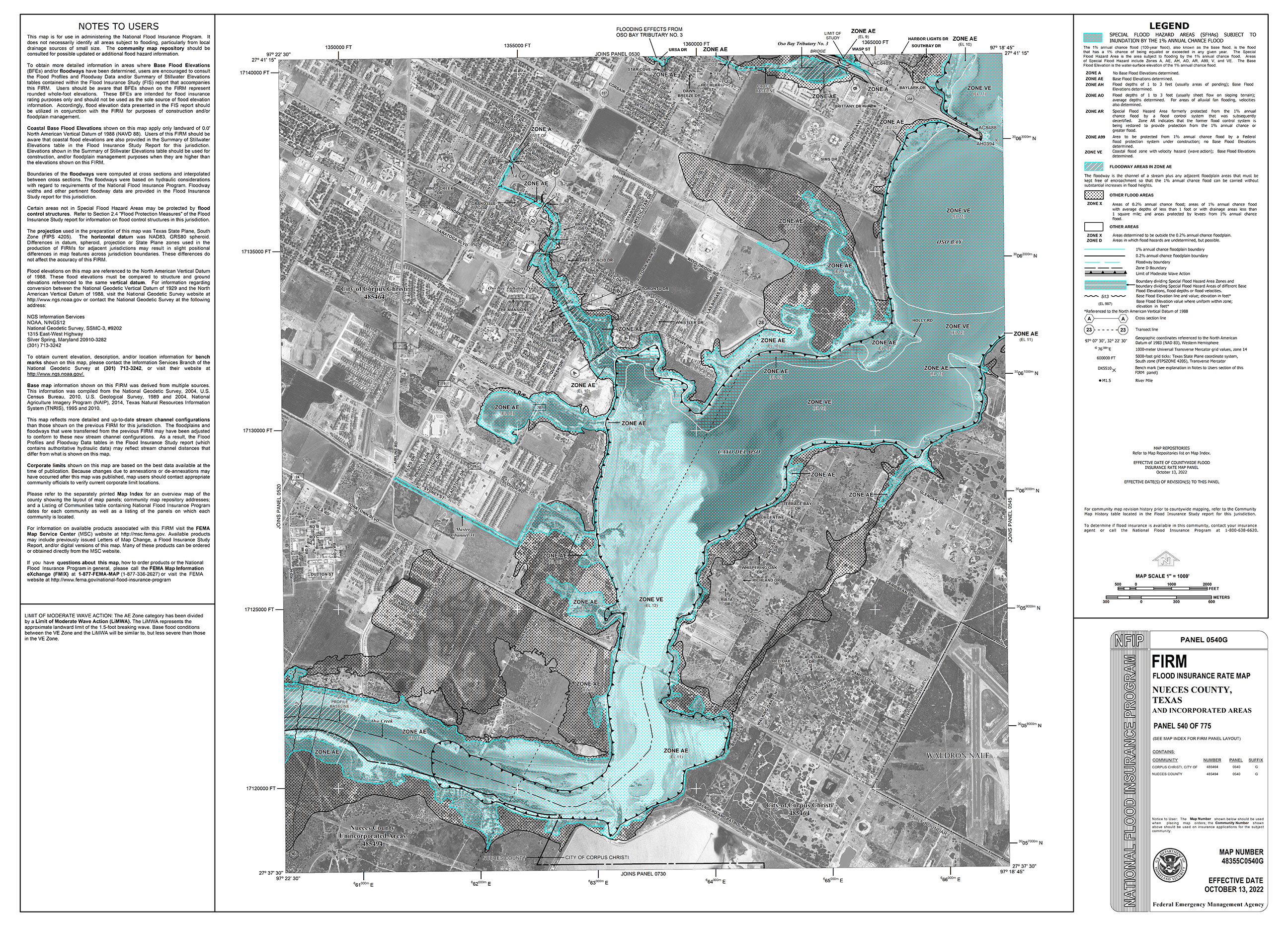
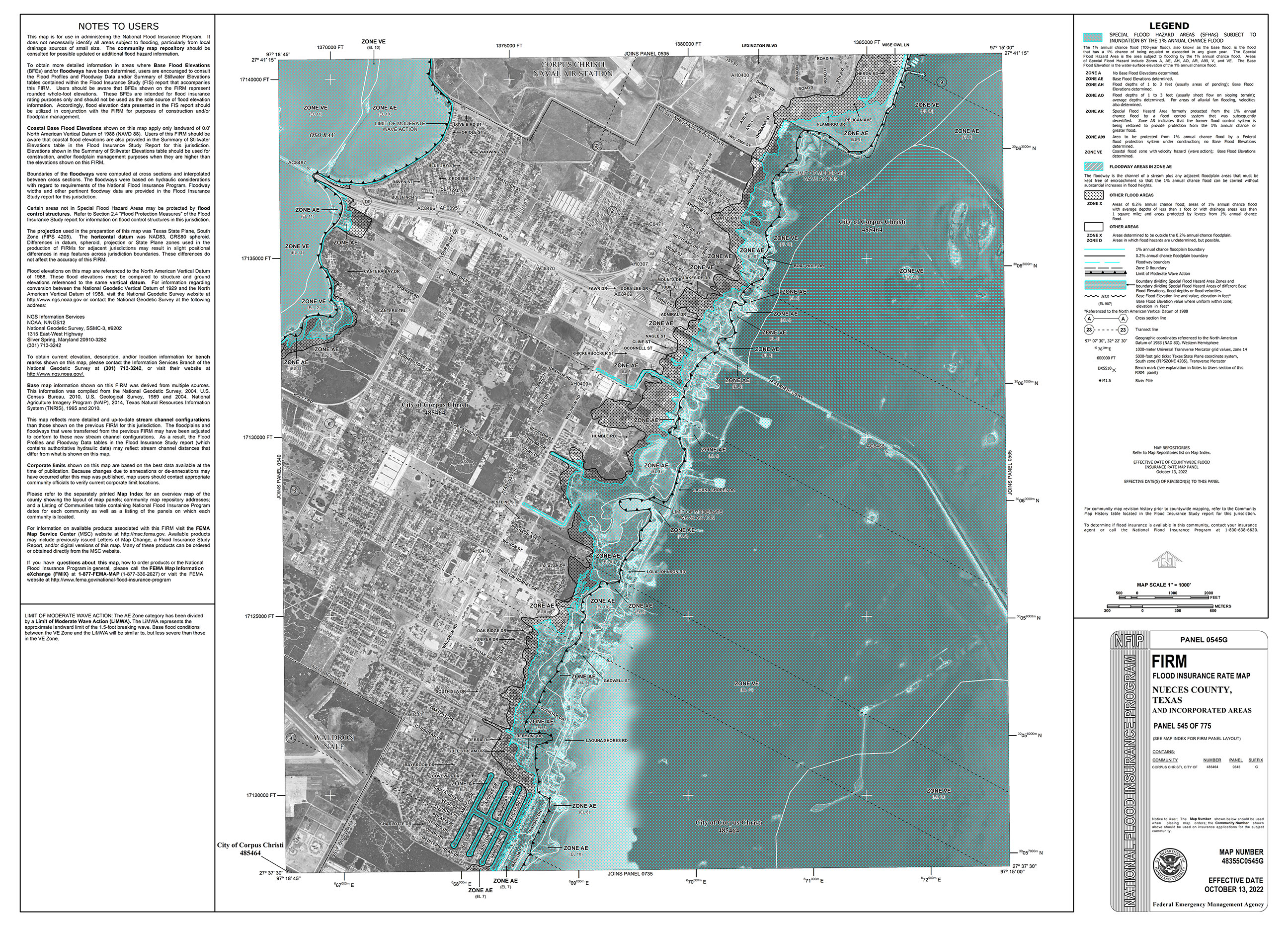
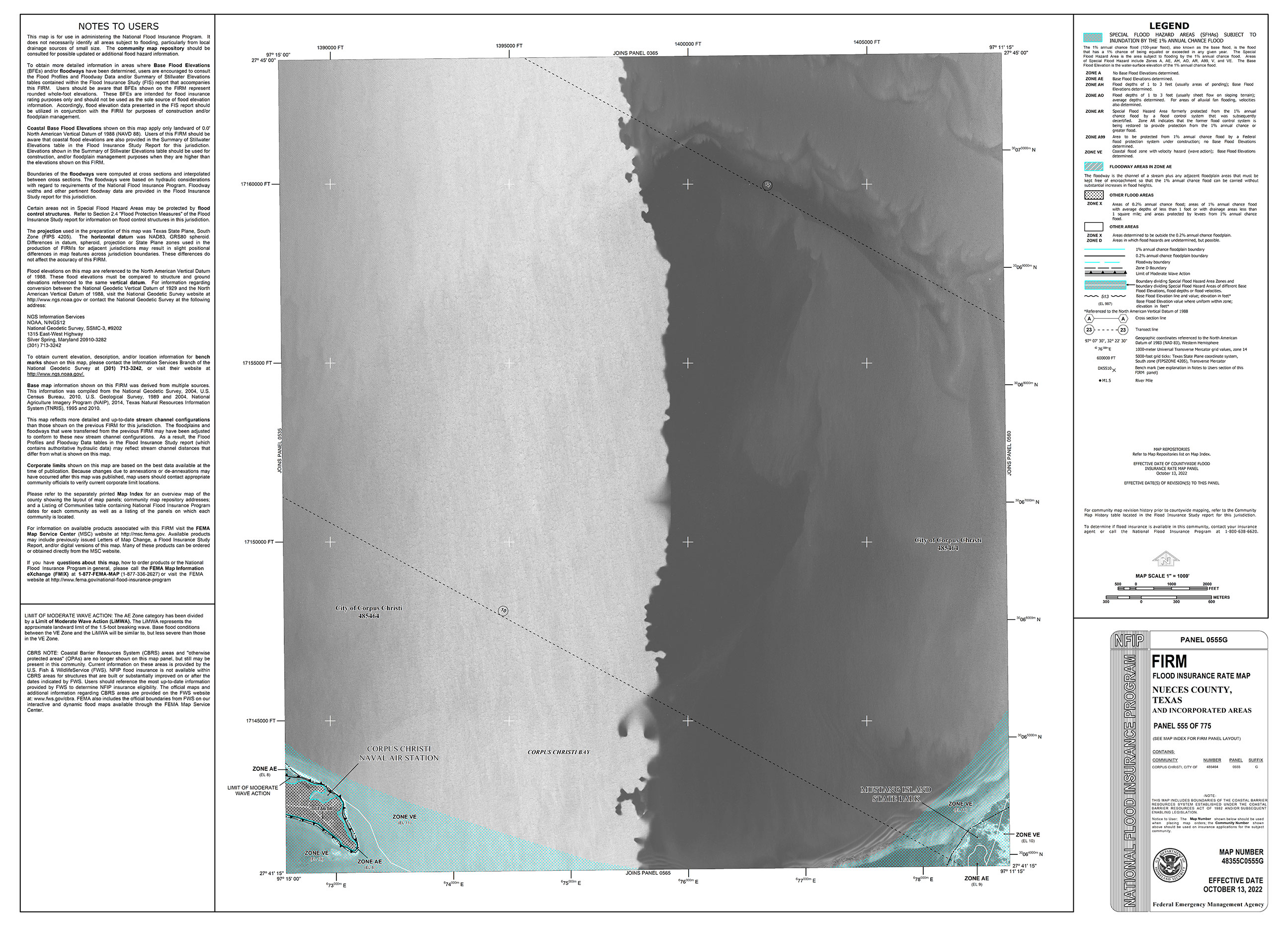
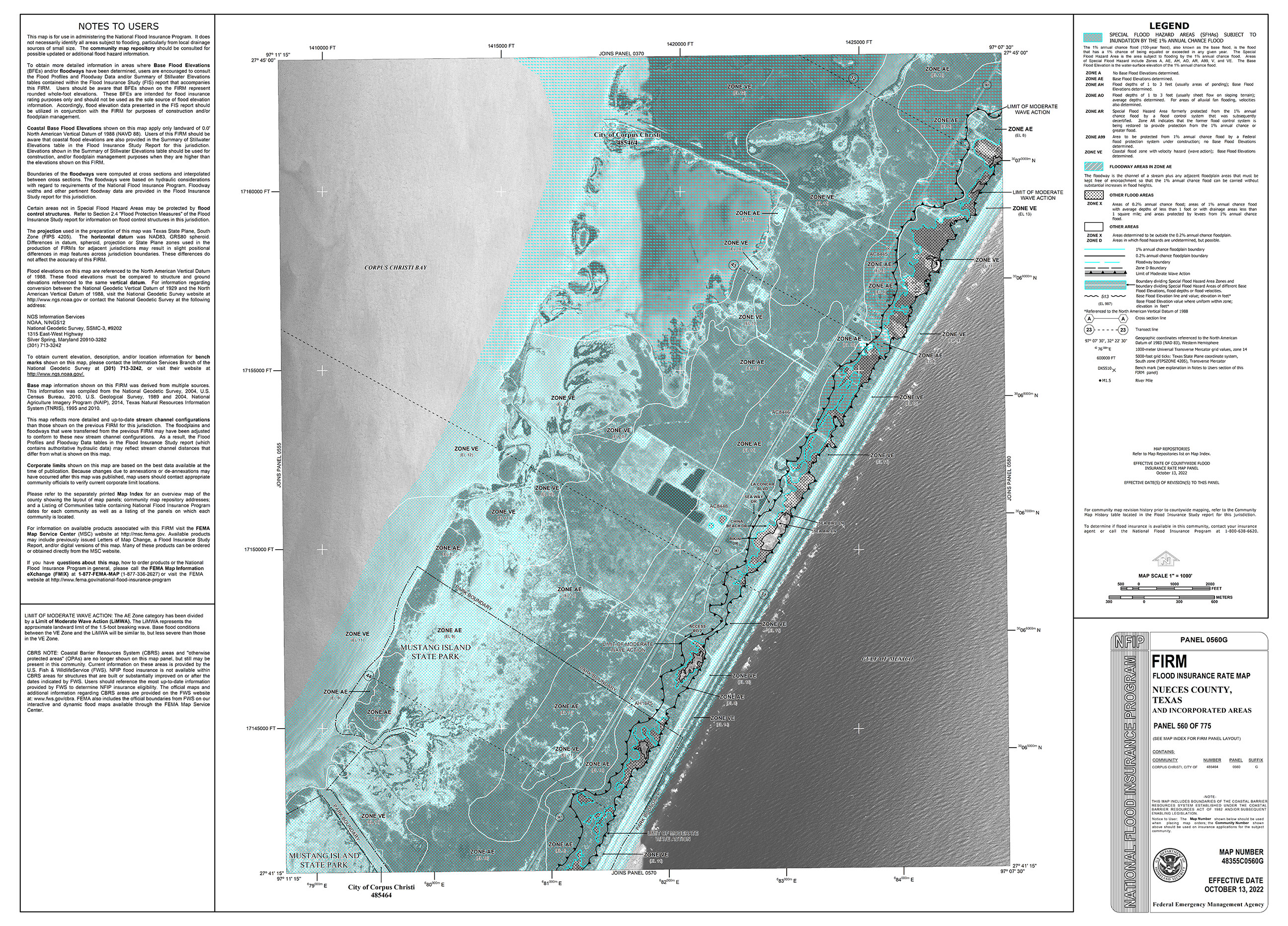
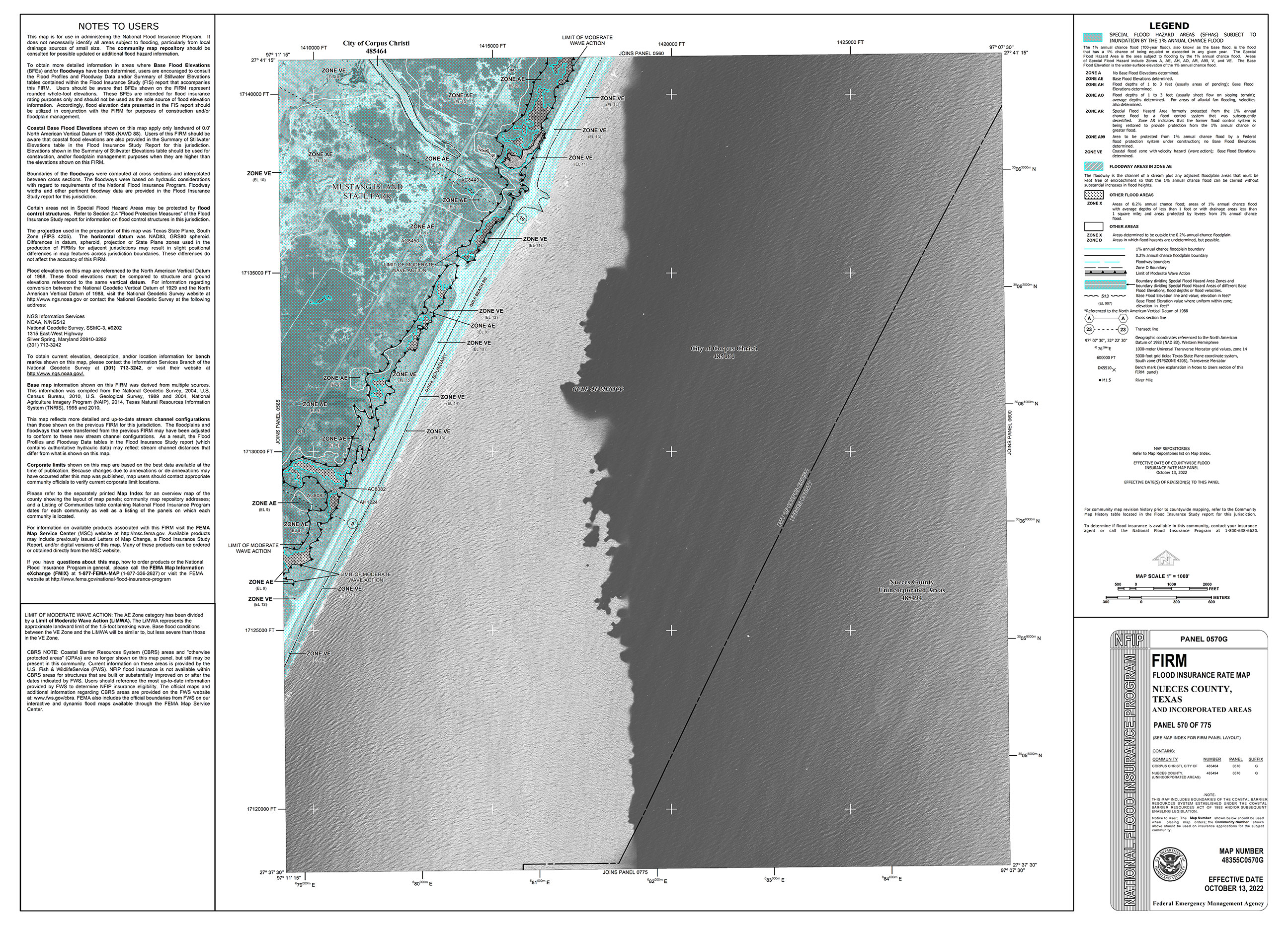
A FIRM will generally show a community’s base flood elevations, flood zones, and floodplain boundaries. As a property owner/renter, you can use these maps to get a reliable indication of what flood zone you’re in. The City of Corpus Christi joined the NFIP in 1970 and has undergone several FIRM revisions since. The latest community-wide FIRM revision has just completed and the new Effective Firms were formally adopted by FEMA on October 13, 2022.
_______
Map Documents
You also can view the Index Map and individual FEMA maps listed below:
48355C0100G »
48355C0125G »
48355C0150G »
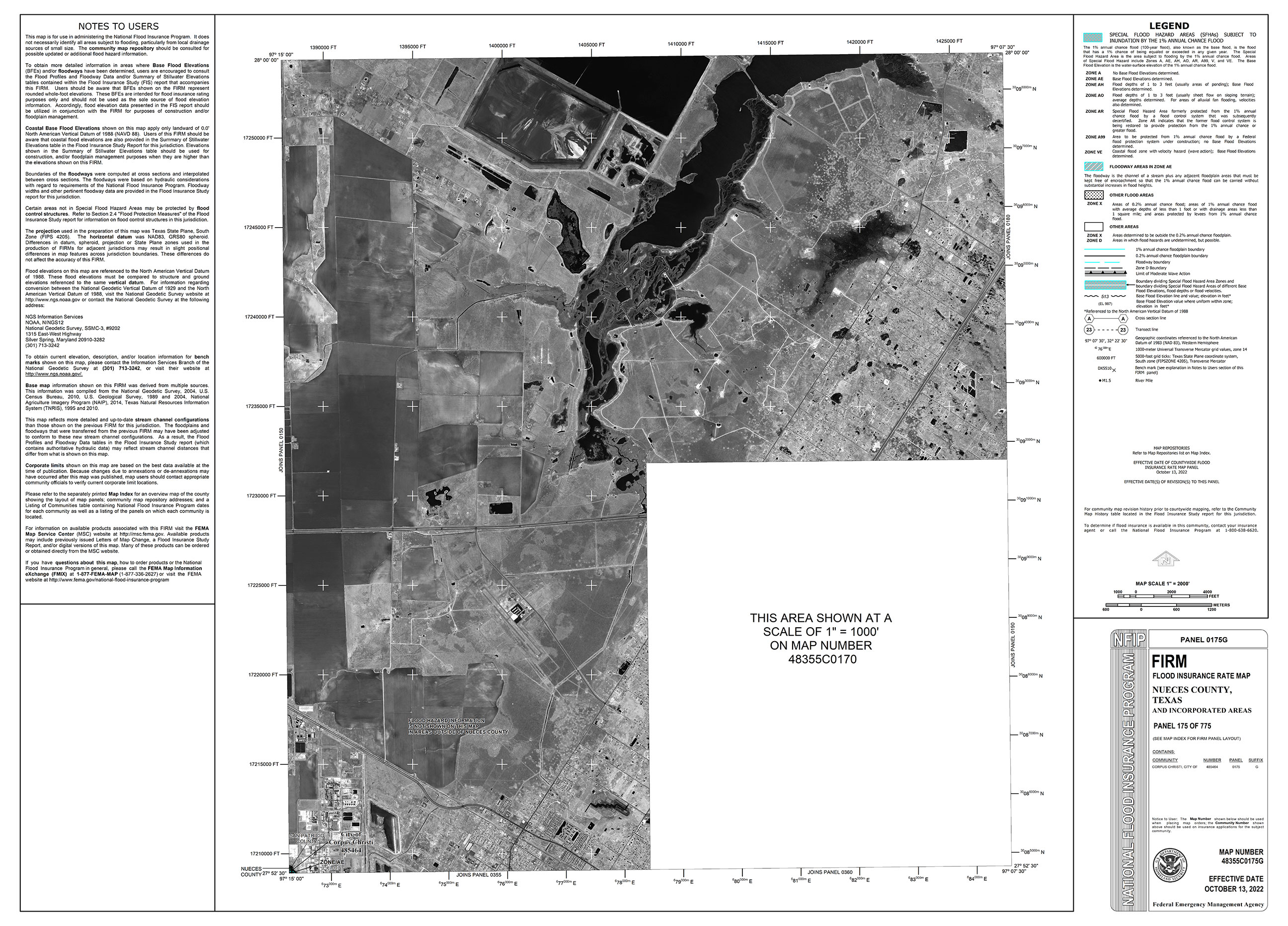
48355C0170G »
48355C0175G »
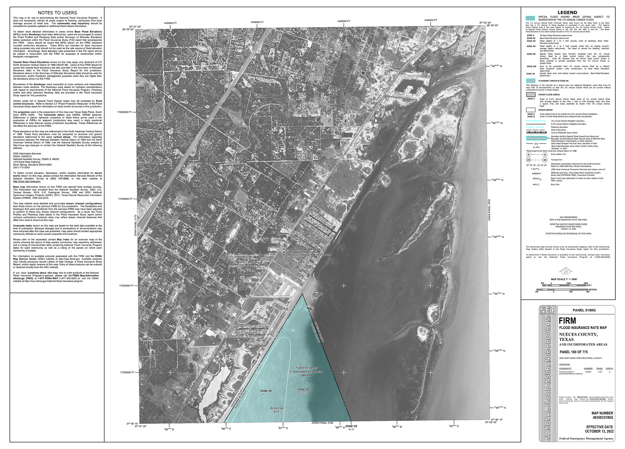
48355C0180G »
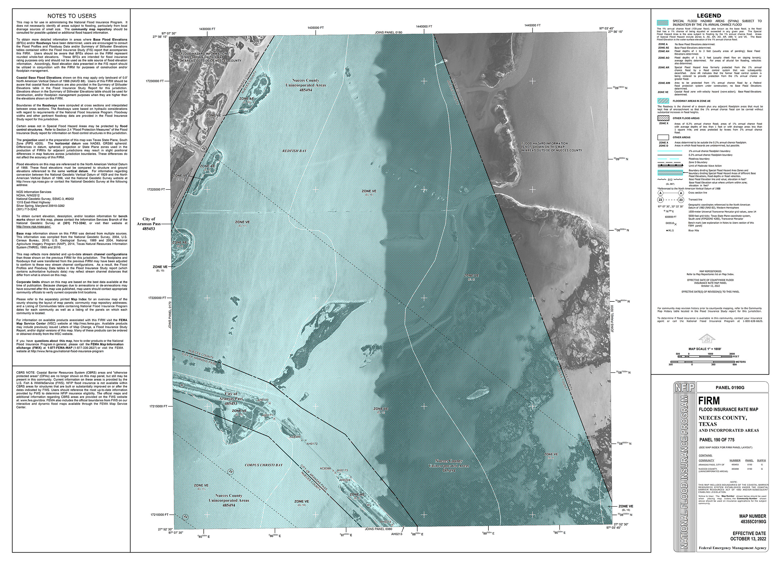
48355C0190G »
48355C0200G »
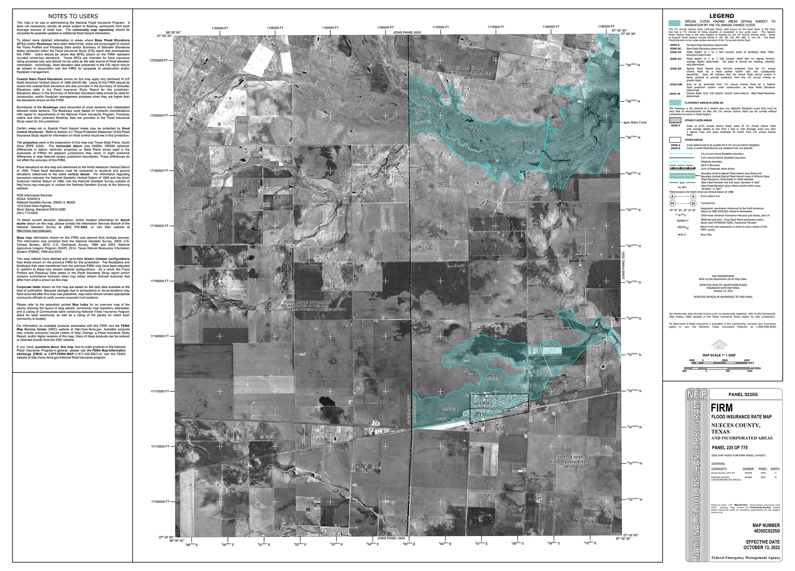
48355C0225G »
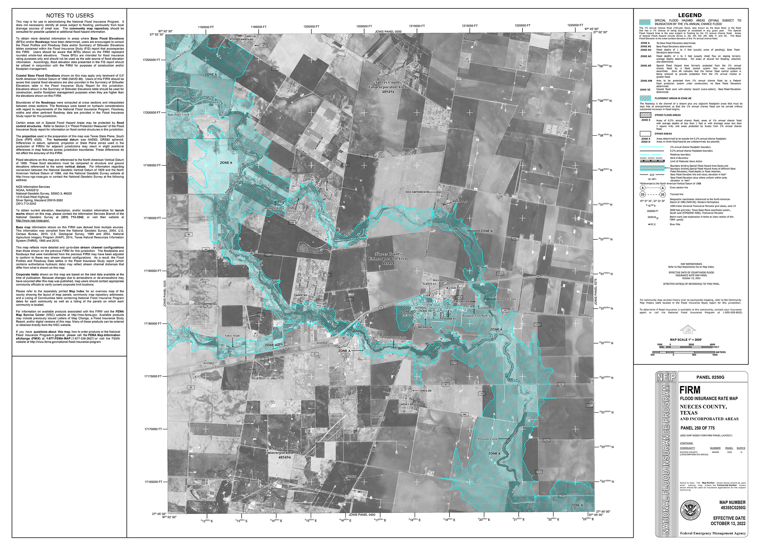
48355C0250G »
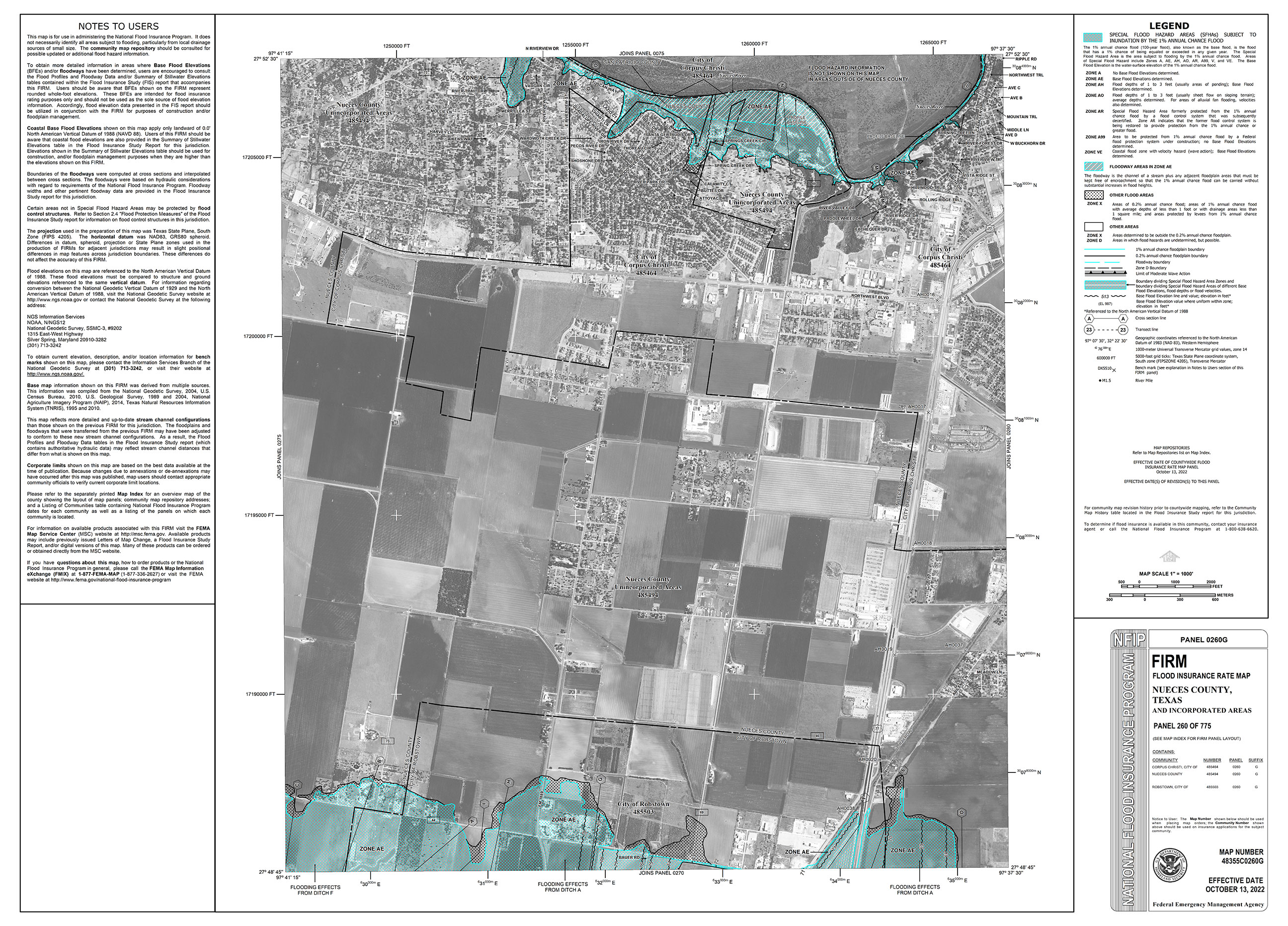
48355C0260G »
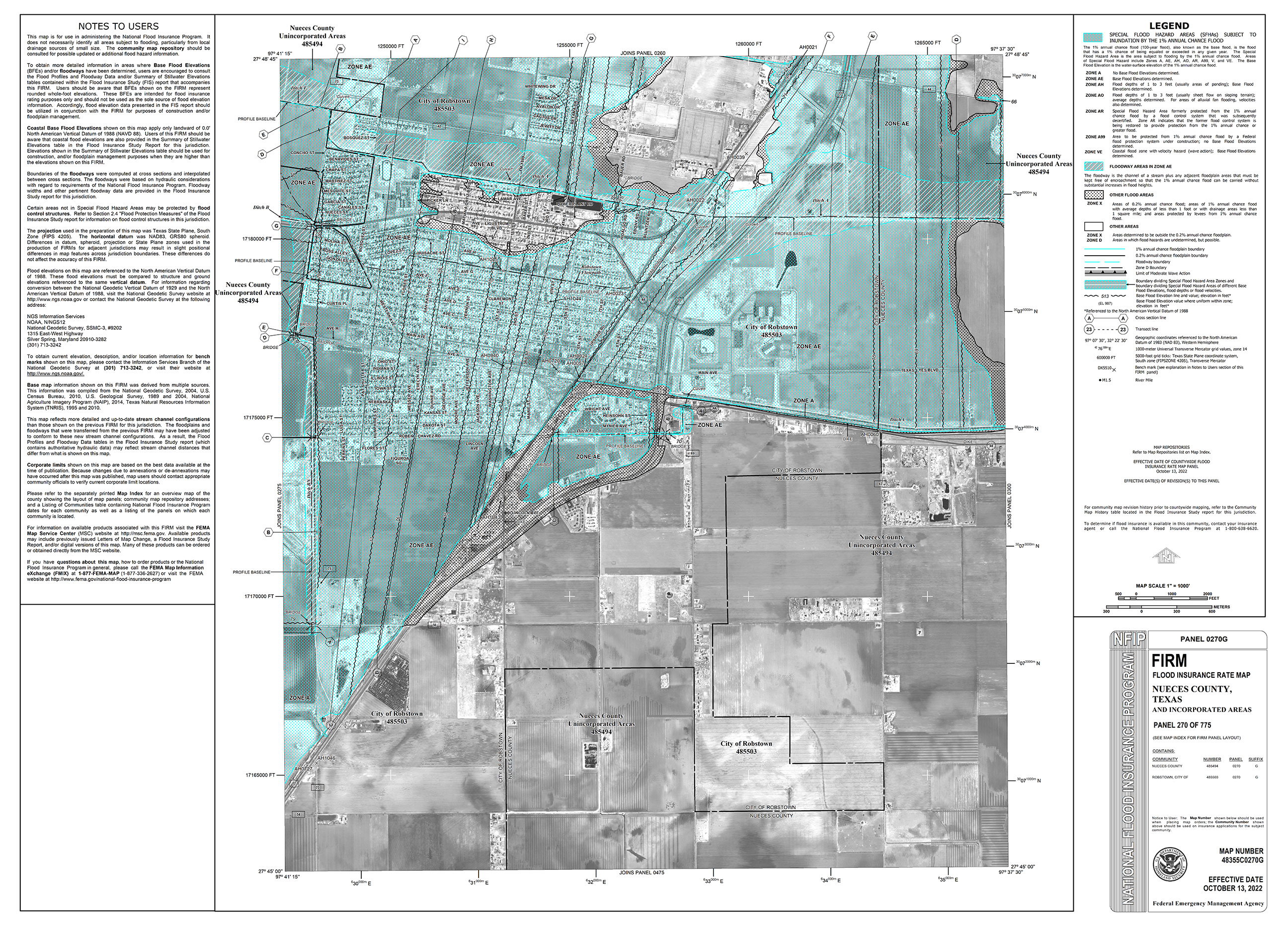
48355C0270G »
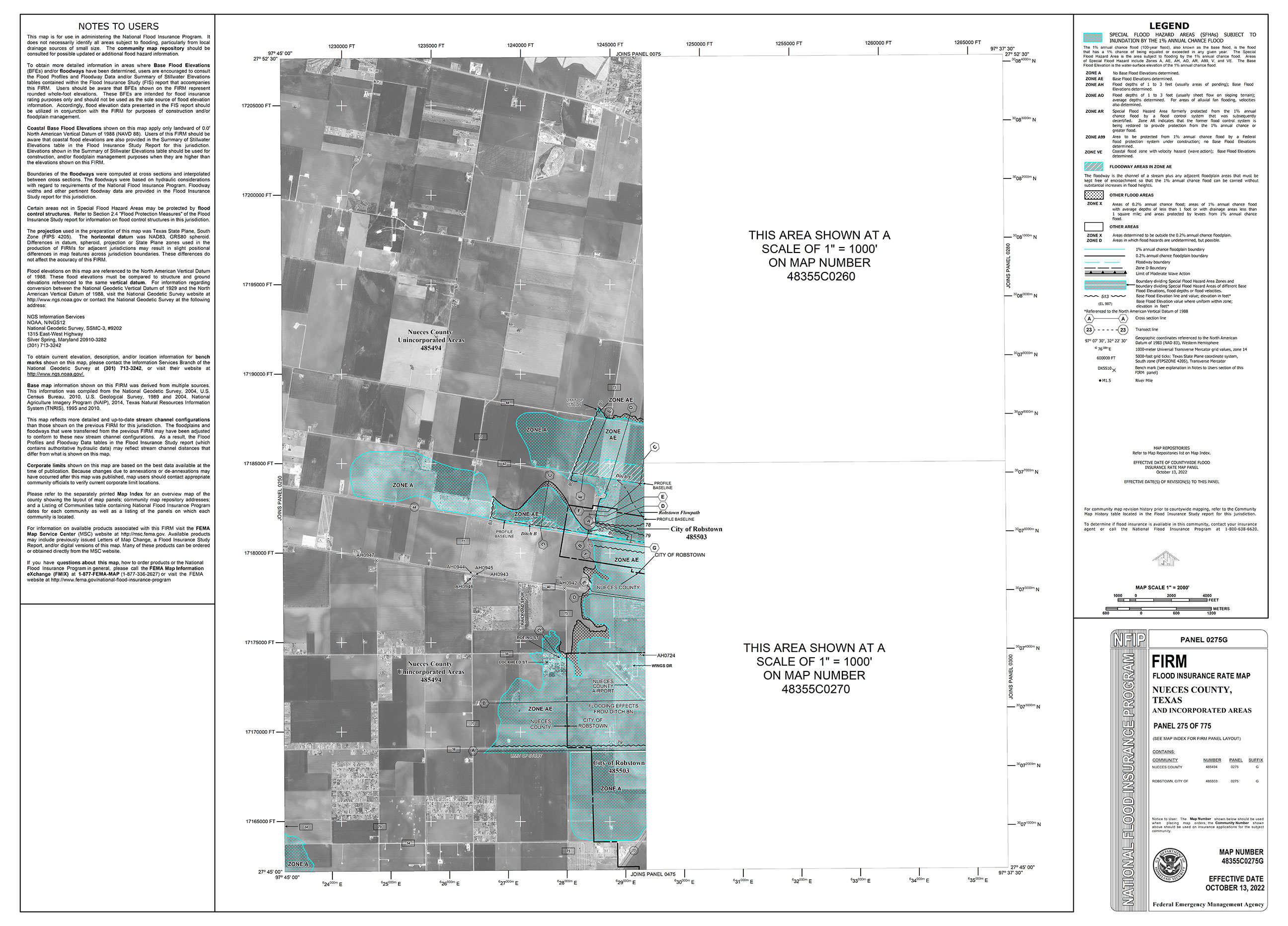
48355C0275G »
48355C0280G »
48355C0285G »
48355C0300G »
48355C0305G »
48355C0310G »
48355C0315G »
48355C0320G »
48355C0350G »
48355C0355G »
48355C0360G »
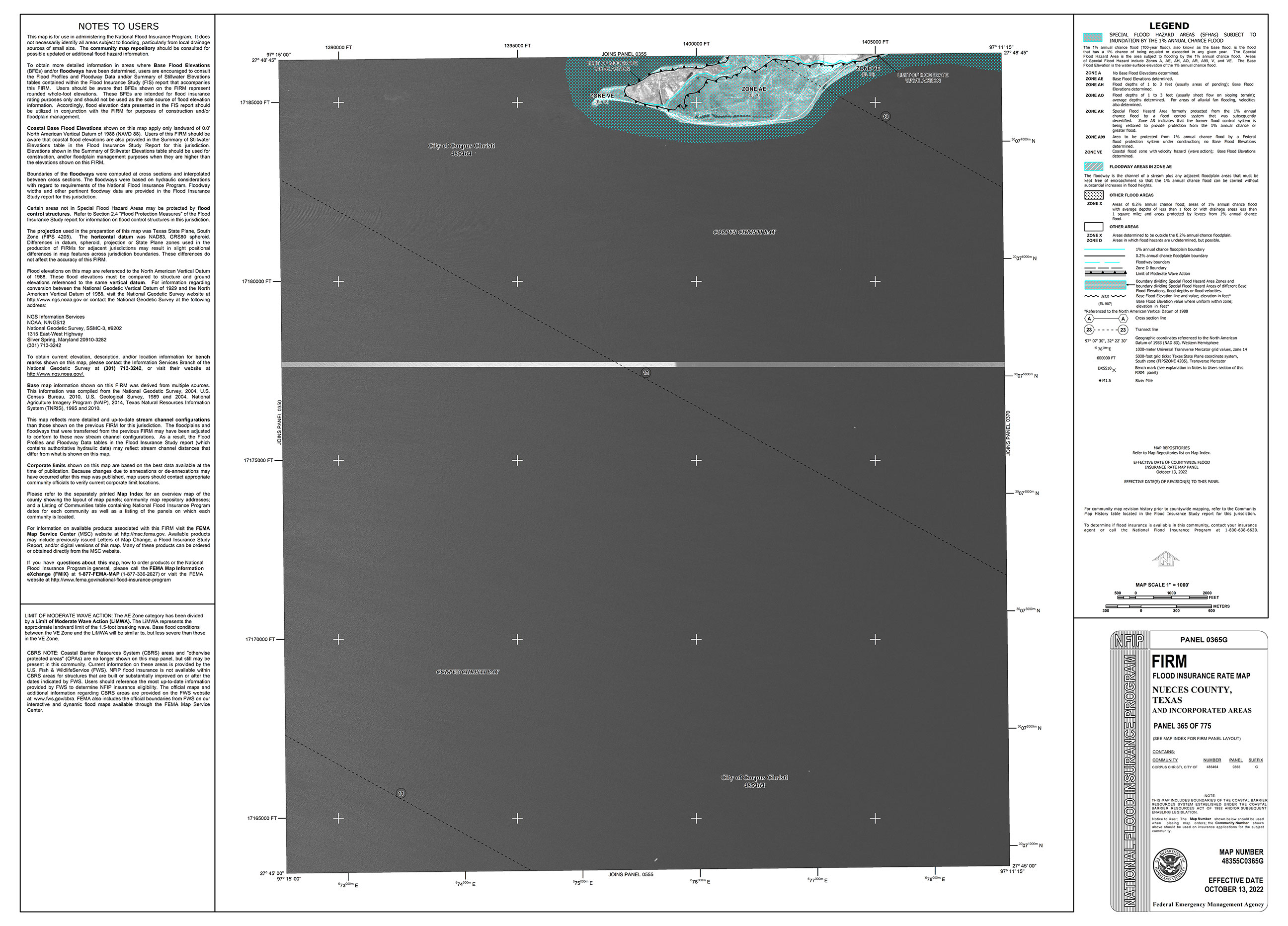
48355C0365G »
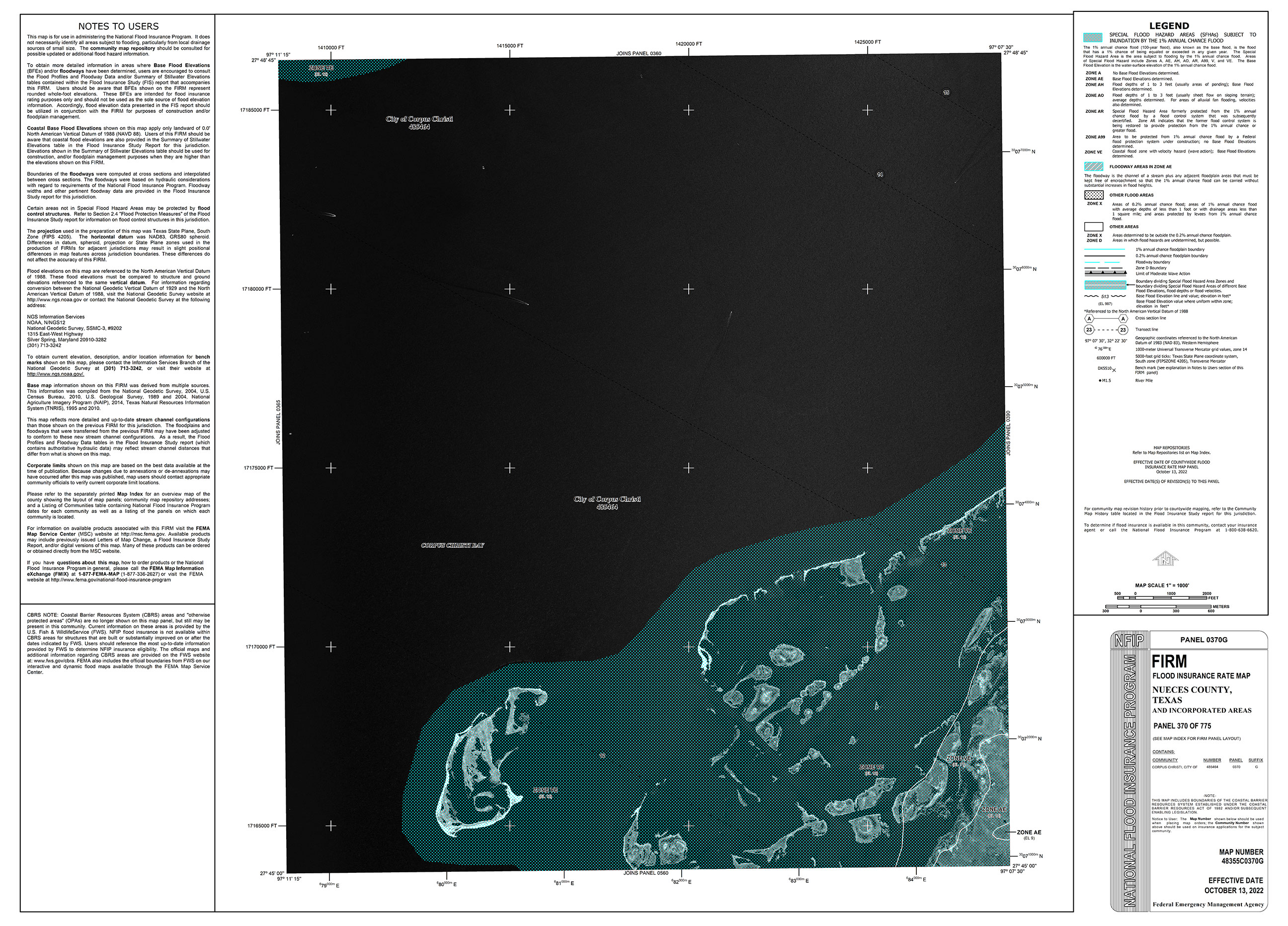
48355C0370G »
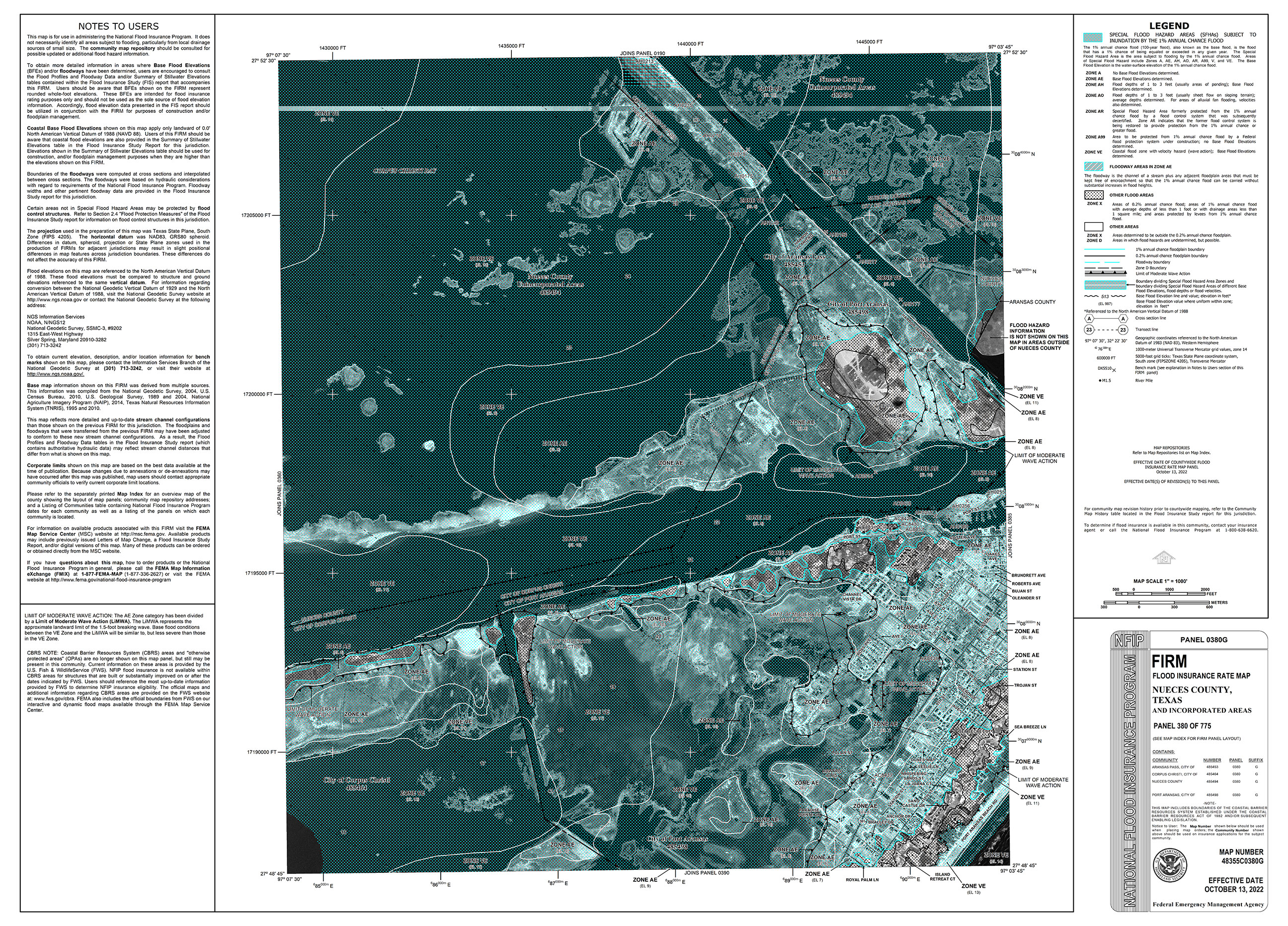
48355C0380G »
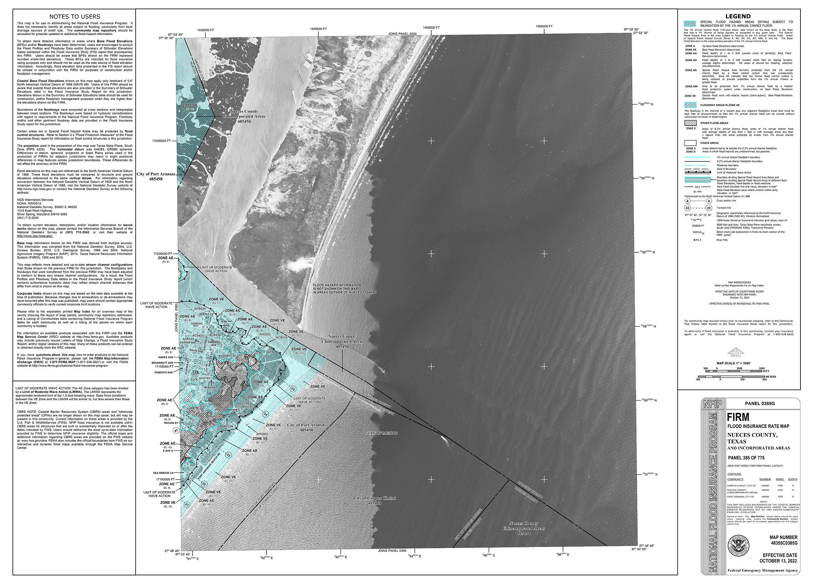
48355C0385G »
48355C0390G »
48355C0425G »
48355C0450G »
48355C0475G »
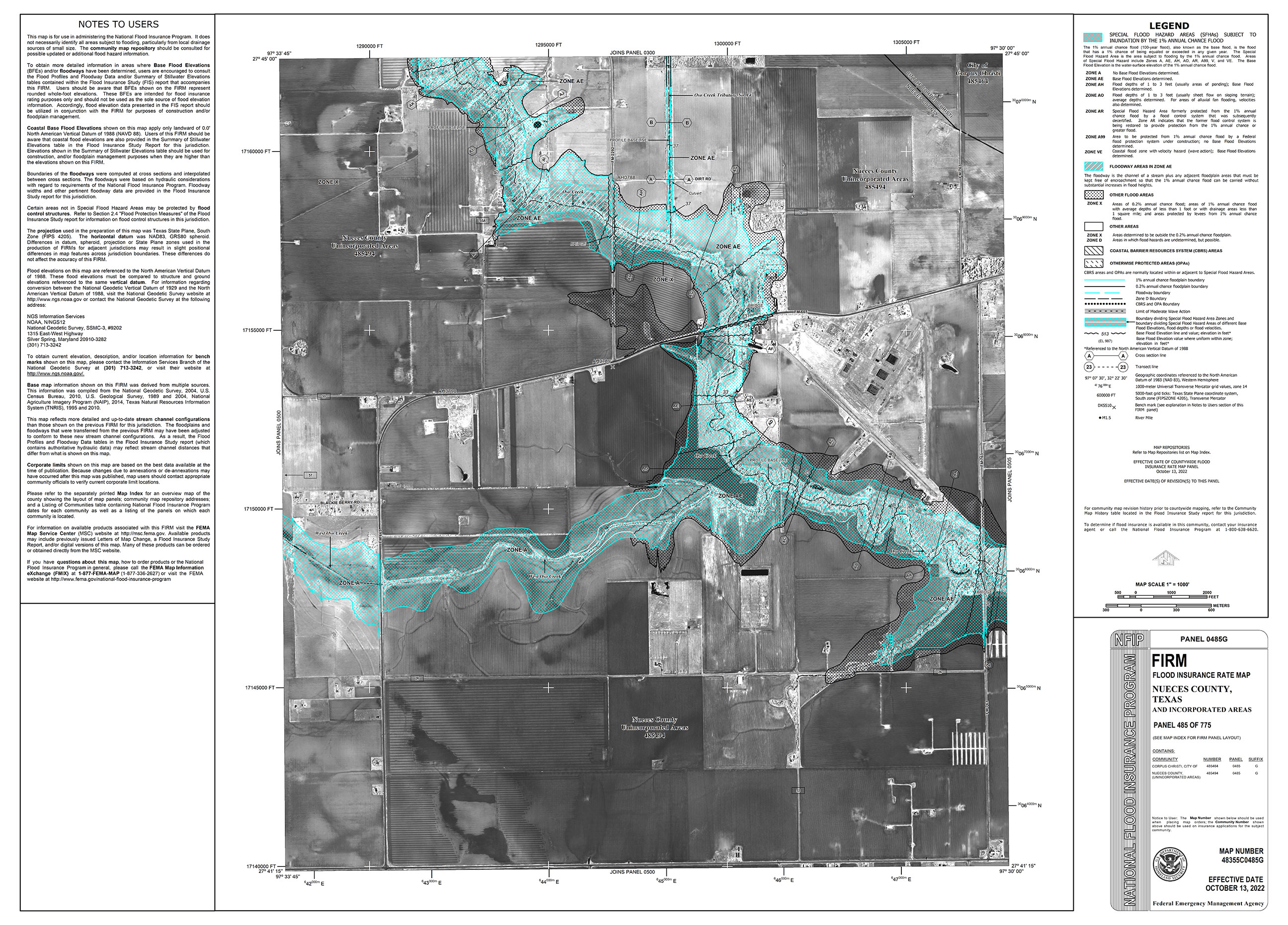
48355C0485G »
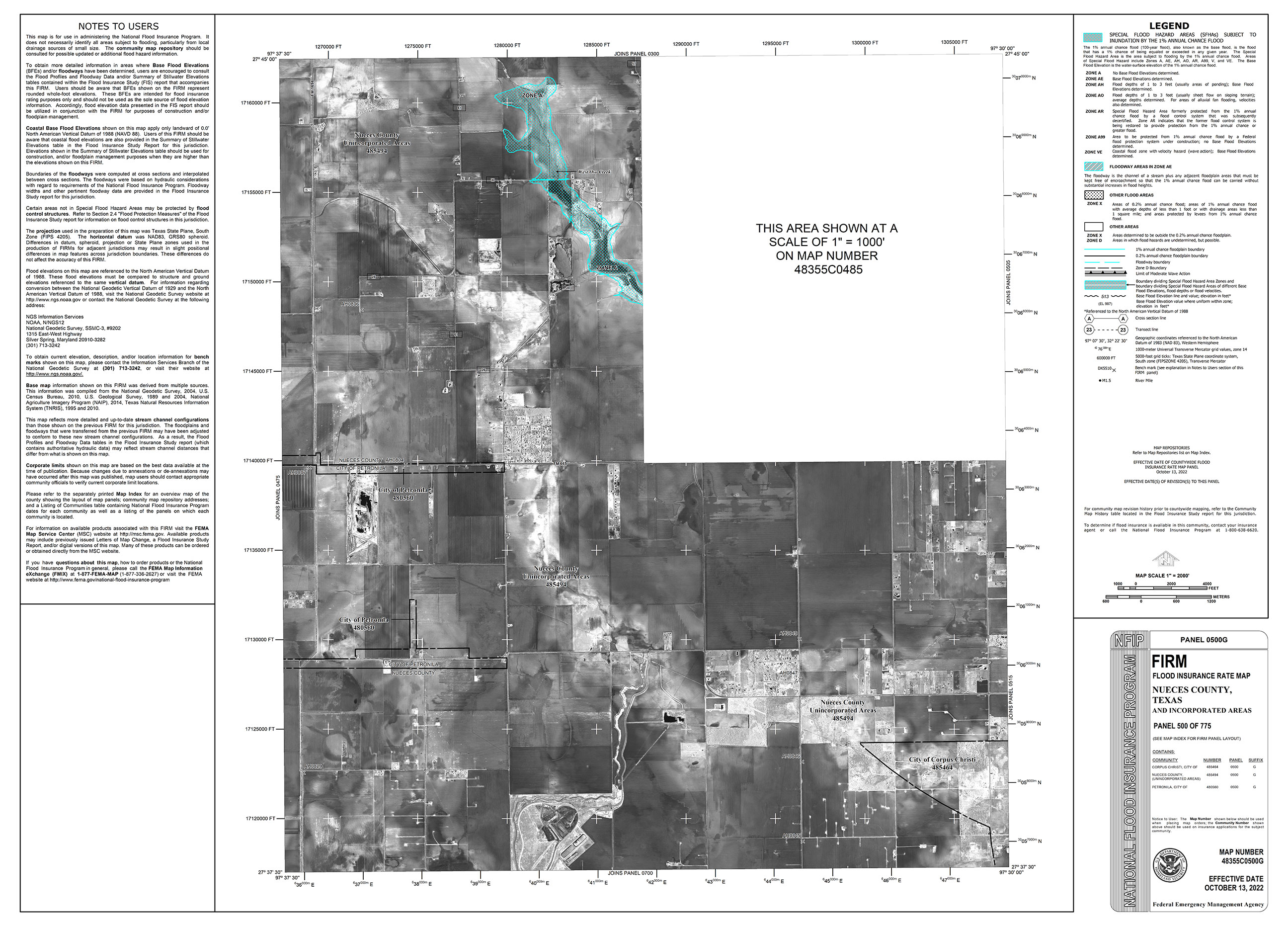
48355C0500G »
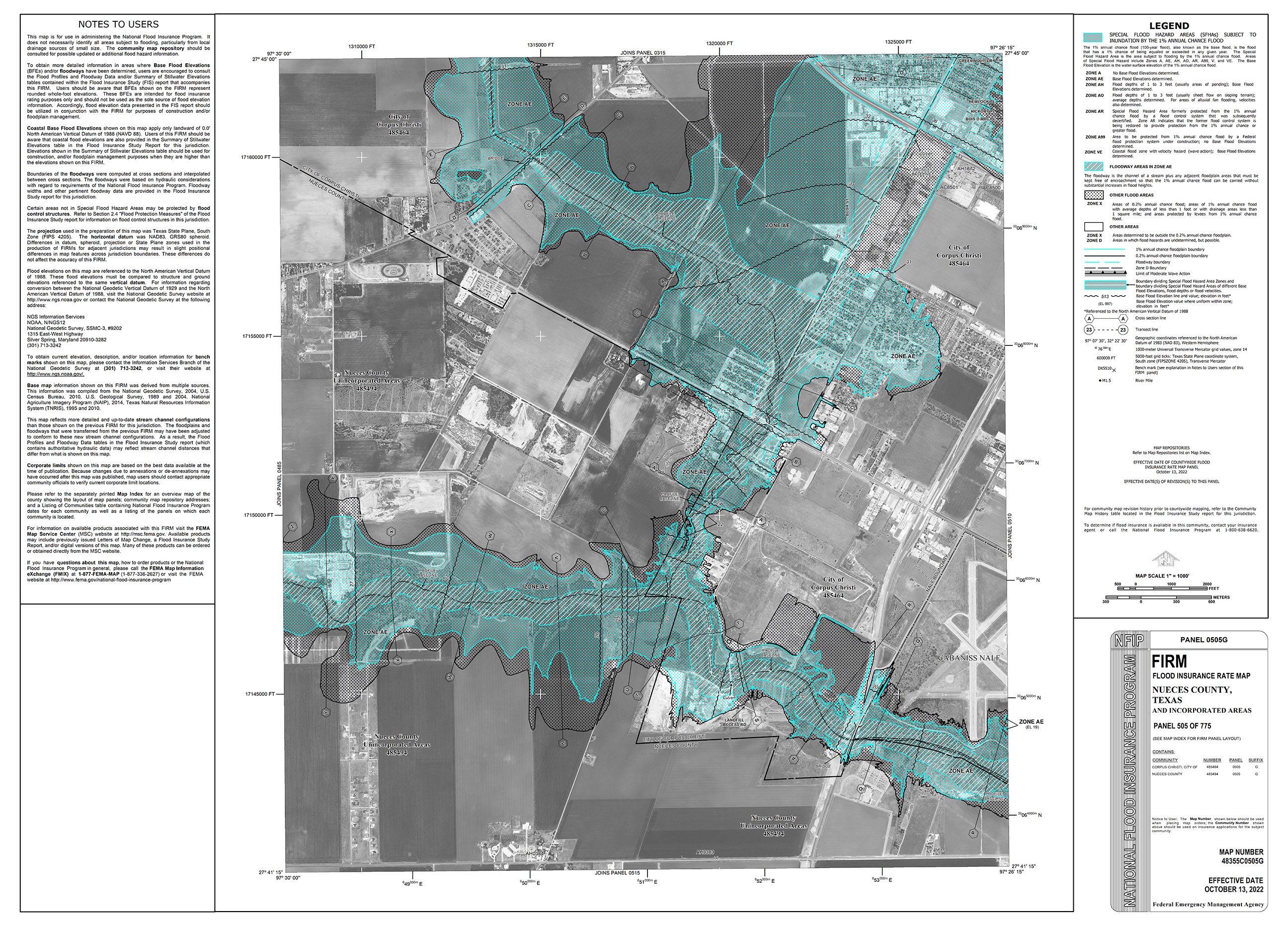
48355C0505G »
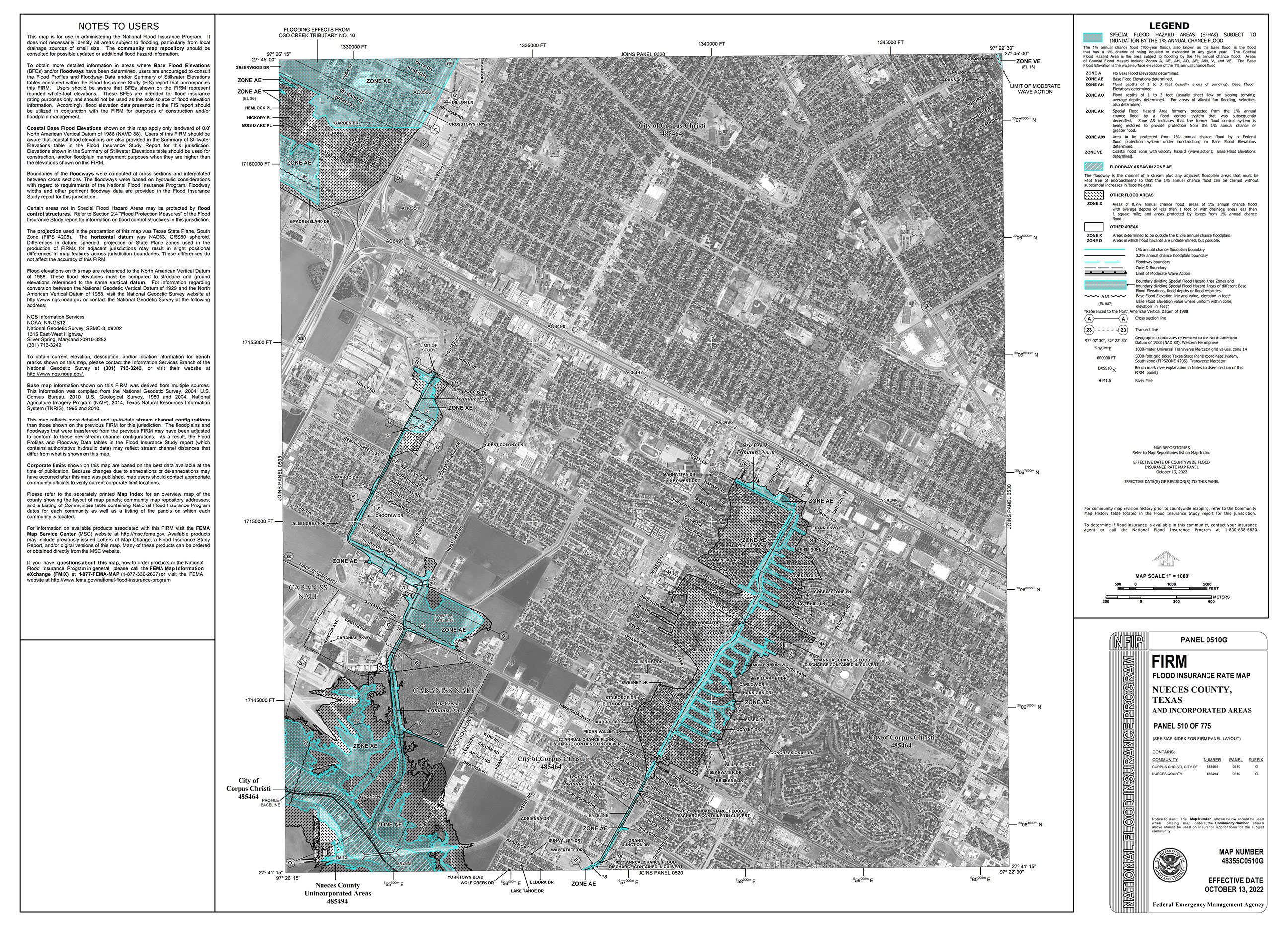
48355C0510G »
48355C0515G »
48355C0520G »
48355C0530G »
48355C0535G »
48355C0540G »
48355C0545G »
48355C0555G »
48355C0560G »
48355C0565G »
48355C0570G »
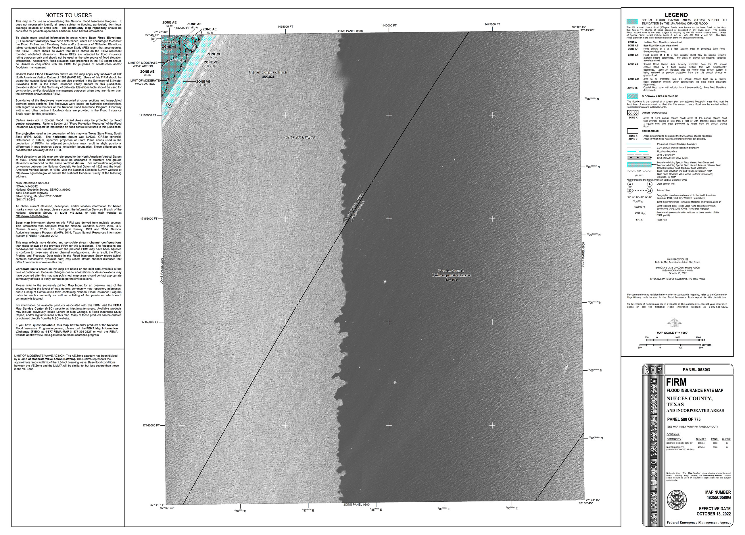
48355C0580G »
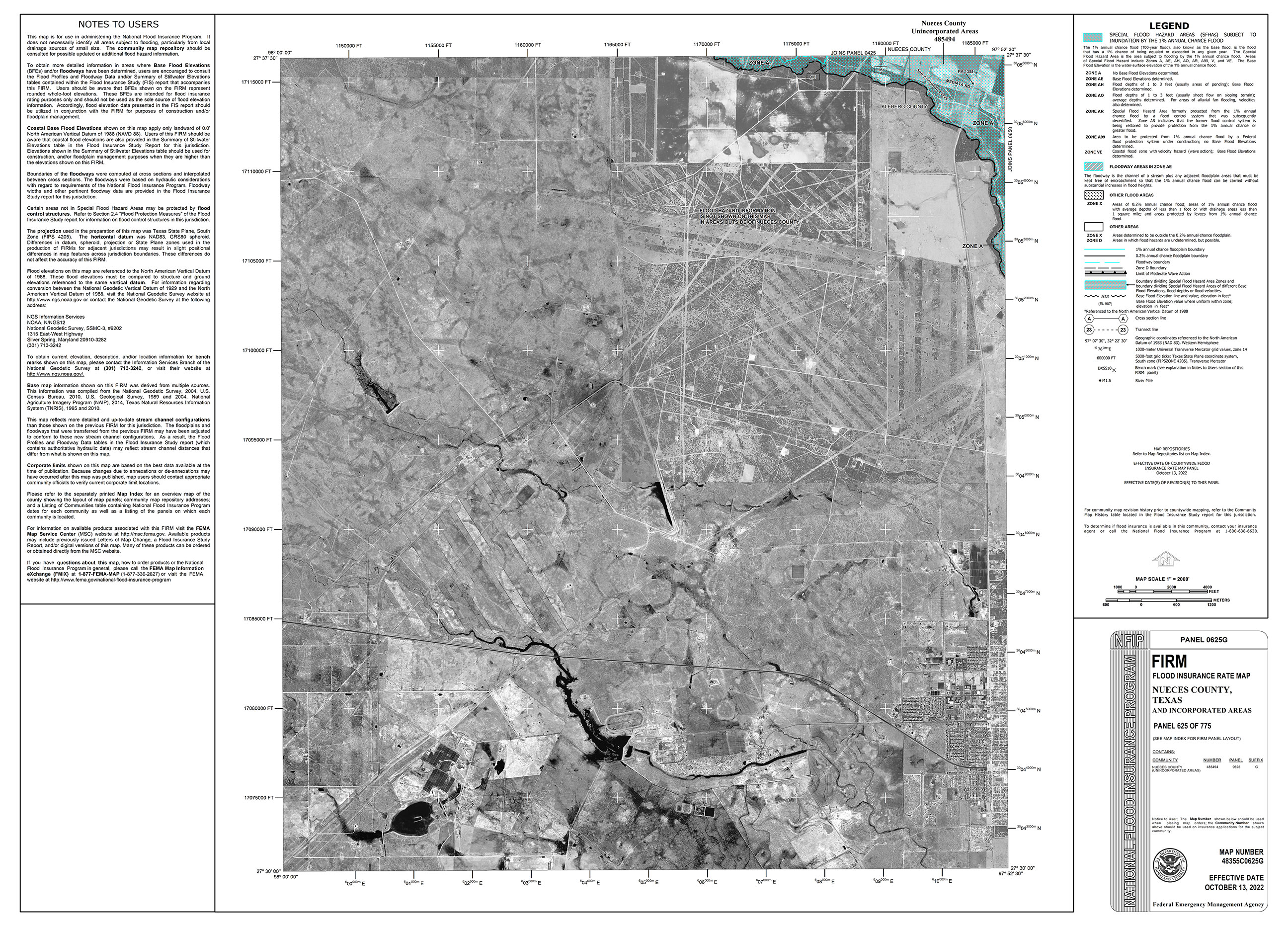
48355C0625G »
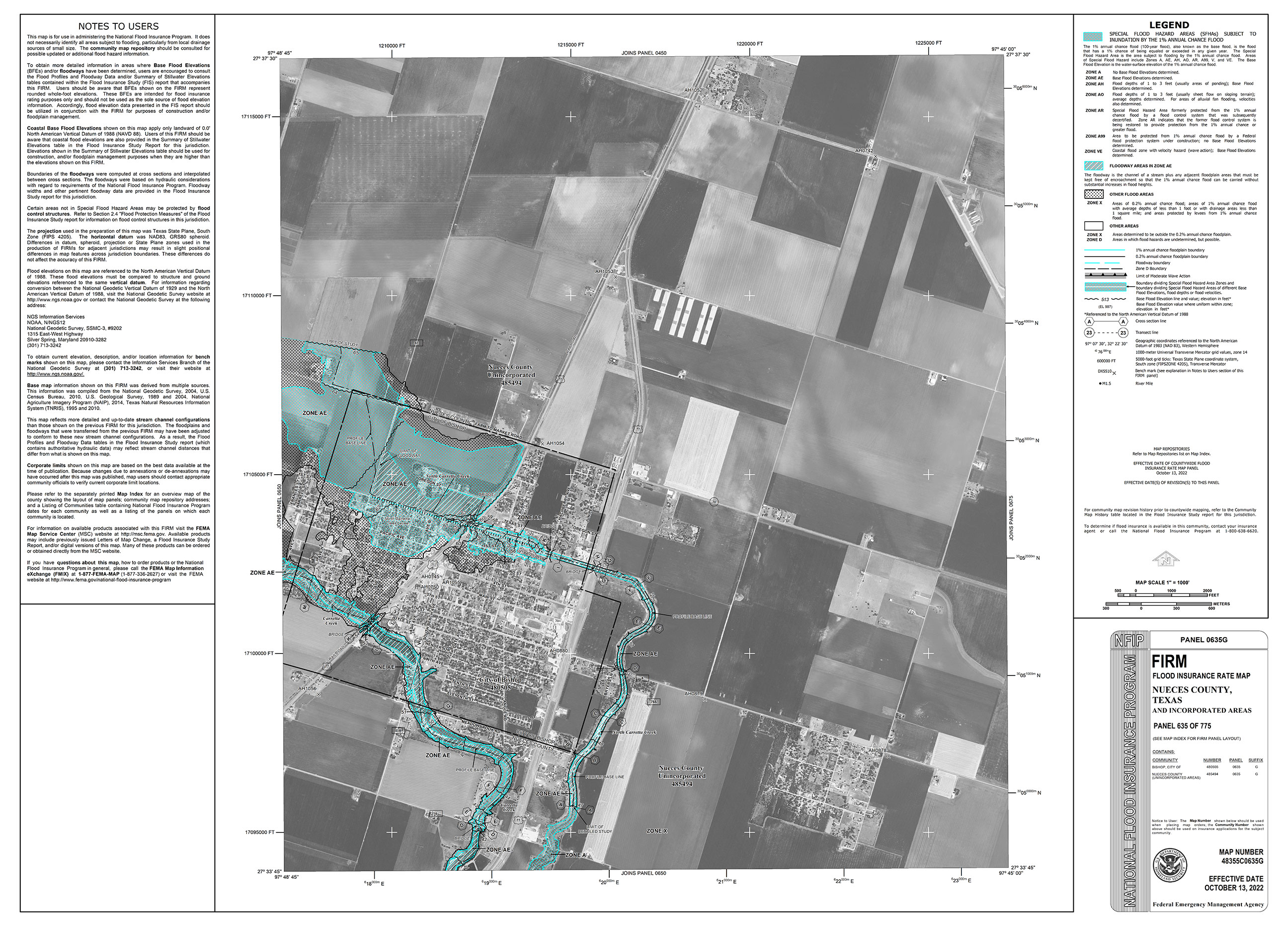
48355C0635G »
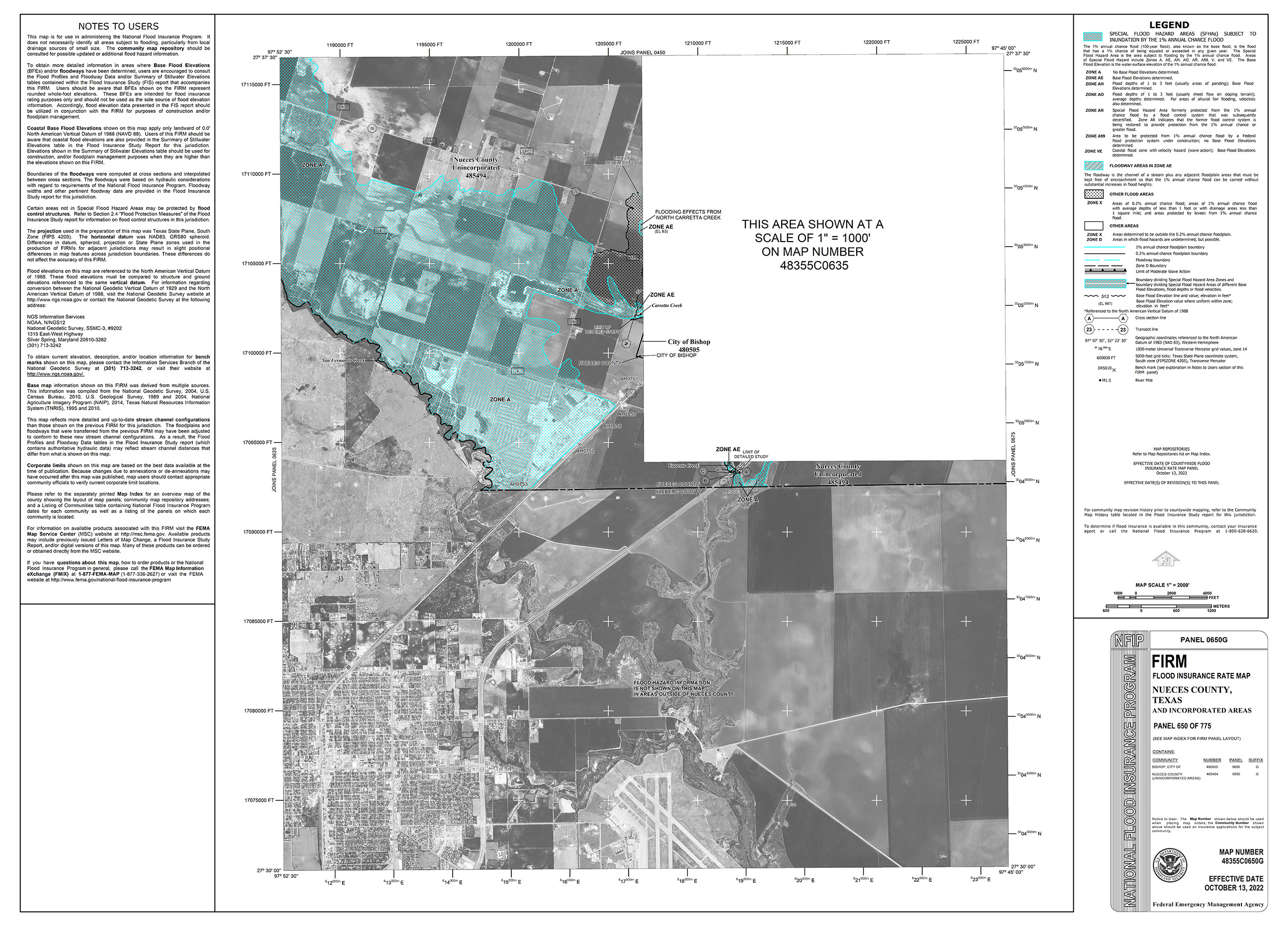
48355C0650G »
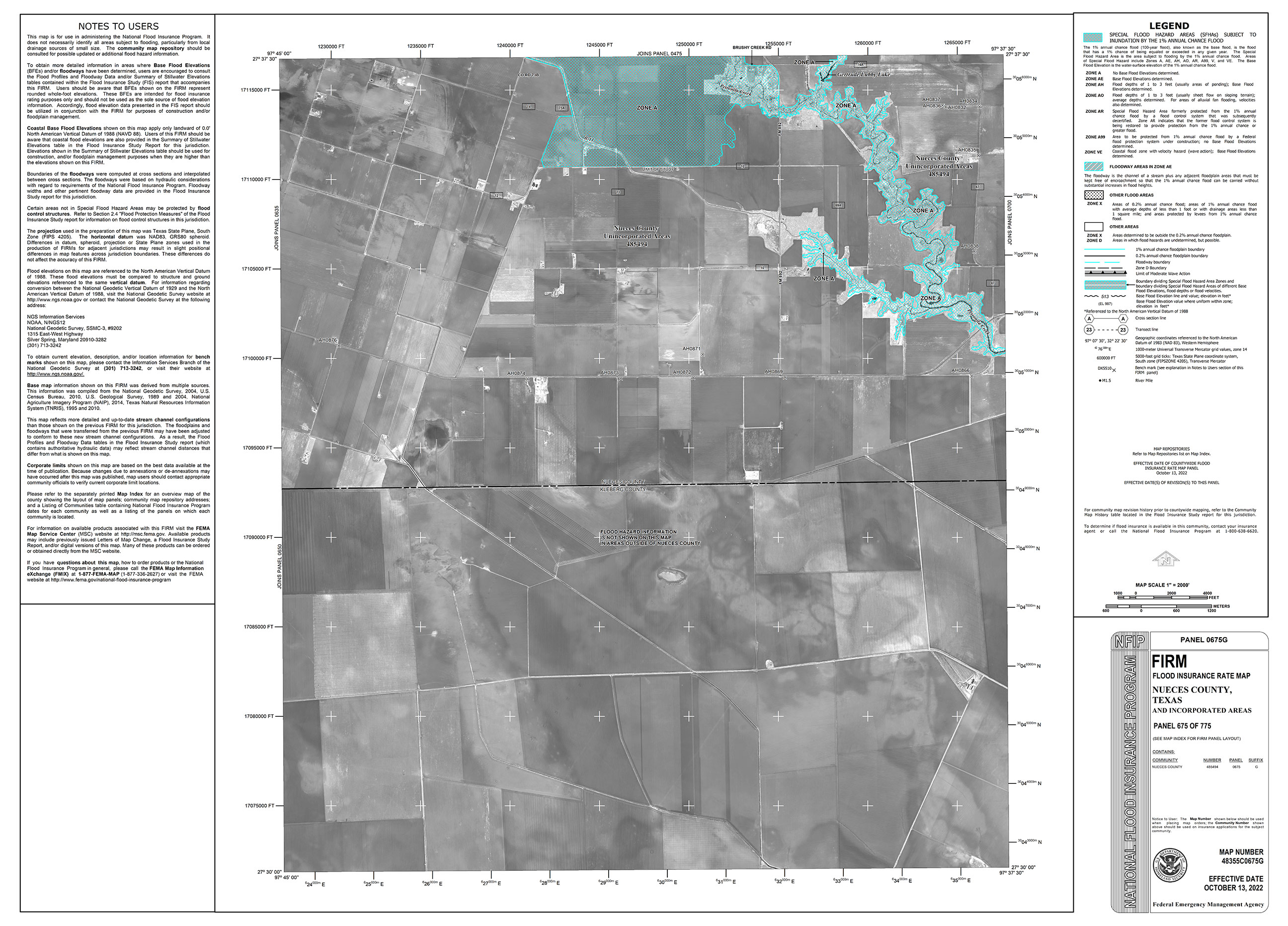
48355C0675G »
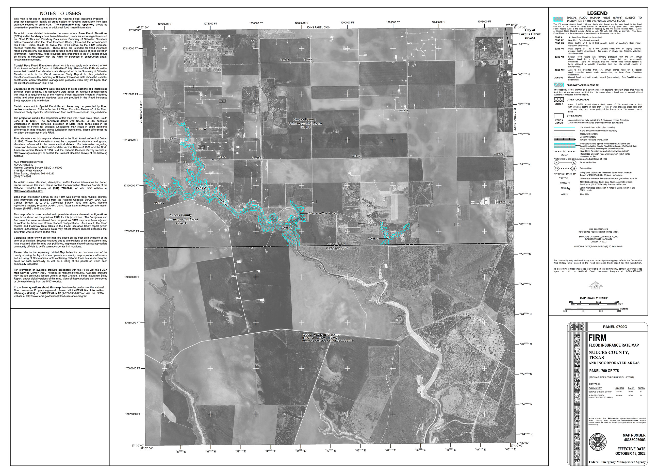
48355C0700G »
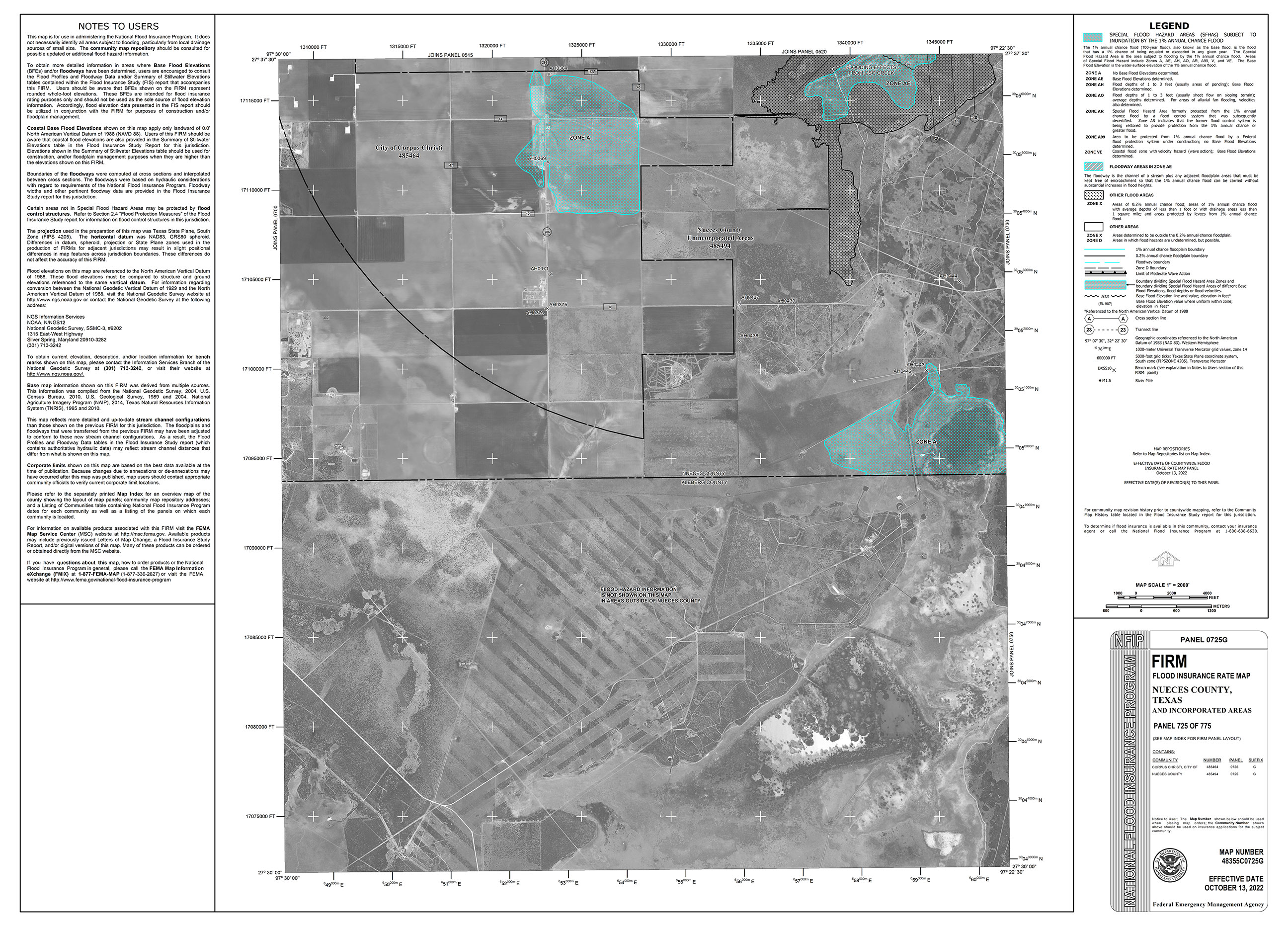
48355C0725G »
48355C0730G »
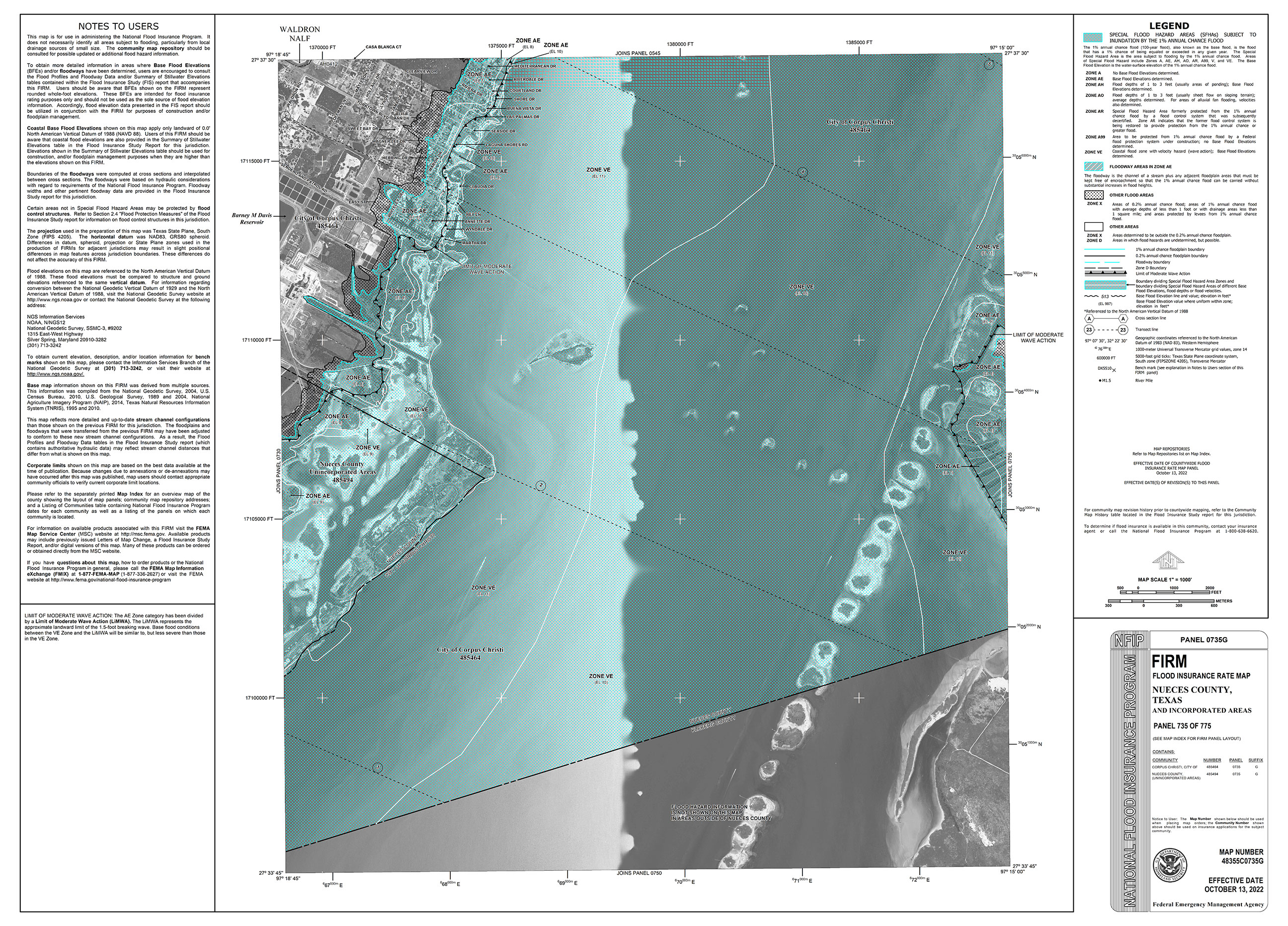
48355C0735G »
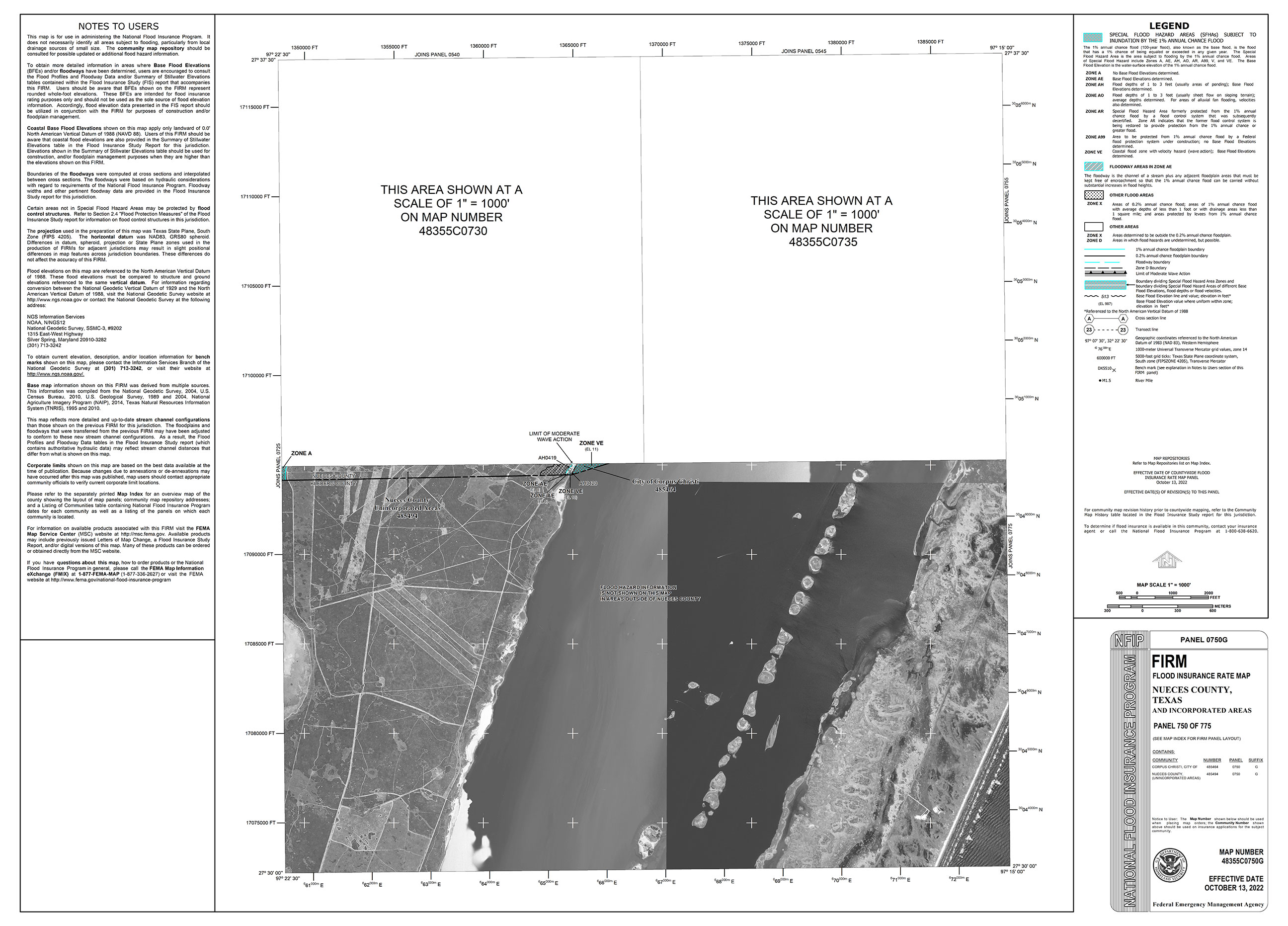
48355C0750G »
48355C0755G »
ADDITIONAL INFO
CLICK HERE to view the City of Corpus Christi Interactive Map
_______
The FEMA Flood Map Service Center (MSC) is the official public source for flood hazard information produced in support of the National Flood Insurance Program (NFIP). Search your address at https://msc.fema.gov/portal.
FEMA Flood Map Service Center »
_______
Questions?
Send us your questions about zones, maps, development, insurance or other FEMA topics. We will respond as soon as possible.